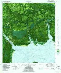
1982 Map of West Bay
USGS Topo · Published 1984About this map
West Bay and Woodville anchor this 1982 orthophotomap, which illustrates the intricate interface between the Florida Panhandle's pine forests and the tidal marshes of the West Bay coastline. The landscape is defined by a dense network of blackwater drainages, including the meandering Crooked Creek and Burnt Mill Creek. This edition is particularly notable for its bathymetric data, showing the underwater contours of the bay's floor alongside the Intracoastal Waterway as it passes beneath a Drawbridge. Evidence of local utility and landmarks appear in the form of a Lookout Tower and a rural Cemetery near the settlement. The topographic and bathymetric details reveal a geography dominated by named points like Coon Point and Breakfast Point, illustrating how the coastal environment dictated early transportation and settlement patterns along these Florida shores.
Find a feature on this map
29 named features on this map. Tap any name to fly to it.
Don’t see what you’re looking for? This feature index may not catch every label — zoom into the map to look around manually.
Map Details
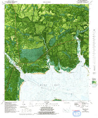
Editions of this 1982 West Bay Map
2 editions found
Other maps of this area

1943 · Laguna Beach
USGS Topo · 1:31,680

1943 · Panama City
USGS Topo · 1:31,680

1943 · Panama City Beach
USGS Topo · 1:31,680

1943 · Seminole Hills
USGS Topo · 1:24,000

1943 · West Bay
USGS Topo · 1:24,000

1943 · Southport
USGS Topo · 1:24,000

1944 · Southport
USGS Topo · 1:24,000

1944 · Seminole Hills
USGS Topo · 1:31,680

1944 · West Bay
USGS Topo · 1:31,680

1944 · Crystal Lake
USGS Topo · 1:24,000