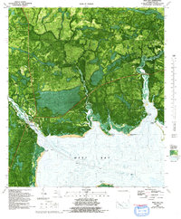
1982 Map of West Bay
USGS Topo · Published 1992About this map
West Bay and the surrounding marshy lowlands of Bay County are captured here in a 1982 orthophotomap revision, blending aerial photography with traditional topographic contours. The settlement of West Bay sits along the Intracoastal Waterway, positioned near a prominent Drawbridge that links the community to the wider coastal region. This landscape is defined by its complex hydrology, where Crooked Creek and Burnt Mill Creek snake through dense wetlands before discharging into the open waters of West Bay.
Find a feature on this map
26 named features on this map. Tap any name to fly to it.
Don’t see what you’re looking for? This feature index may not catch every label — zoom into the map to look around manually.
Map Details
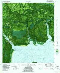
Editions of this 1982 West Bay Map
2 editions found
Other maps of this area

1943 · Laguna Beach
USGS Topo · 1:31,680

1943 · Panama City
USGS Topo · 1:31,680

1943 · Panama City Beach
USGS Topo · 1:31,680

1943 · Seminole Hills
USGS Topo · 1:24,000

1943 · West Bay
USGS Topo · 1:24,000

1943 · Southport
USGS Topo · 1:24,000

1944 · Southport
USGS Topo · 1:24,000

1944 · Seminole Hills
USGS Topo · 1:31,680

1944 · West Bay
USGS Topo · 1:31,680

1944 · Crystal Lake
USGS Topo · 1:24,000