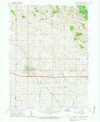
1965 Map of West Branch
USGS Topo · Published 1967About this map
The Hoover Birthplace National Historic Site centers this mid-1960s study of eastern Iowa, marking the presidential heritage of West Branch. The landscape is defined by the diverging paths of the Chicago Rock Island and Pacific railroad and the modern 4 Lane highway, illustrating a period of transition in rural transportation. Small agricultural hubs like Springdale and Centerdale are documented alongside older landmarks that reflect the area’s social fabric, including the Scattergood Sch Cem and United Brethren Cem.
Find a feature on this map
25 named features on this map. Tap any name to fly to it.
Don’t see what you’re looking for? This feature index may not catch every label — zoom into the map to look around manually.
Map Details
Editions of this 1965 West Branch Map
2 editions found
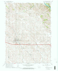
Other maps of this area

1889 · Tipton
USGS Topo · 1:62,500

1890 · Tipton
USGS Topo · 1:62,500

1891 · Mechanicsville
USGS Topo · 1:62,500

1891 · Wilton Junction
USGS Topo · 1:62,500

1894 · Mechanicsville
USGS Topo · 1:62,500

1894 · West Liberty
USGS Topo · 1:62,500

1901 · Stanwood
USGS Topo · 1:125,000

1958 · Davenport
USGS Topo · 1:250,000

1961 · Davenport
USGS Topo · 1:250,000

1962 · Davenport
USGS Topo · 1:250,000