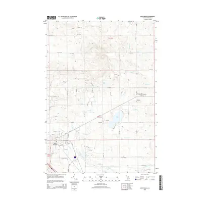
2014 Map of West Branch
USGS Topo · Published 2014About this map
Campbells Corners serves as a local focal point in this 2014 survey of Ogemaw County, marking a classic rural intersection that has long anchored the community north of the West Branch area. The terrain is defined by the complex hydrography of the Rifle River watershed, showing the course of the West Branch Rifle River and its various tributaries as they navigate the glacial topography of northern Michigan. This modern digital survey provides a detailed look at the contemporary road network and water features, illustrating how modern infrastructure follows the natural contours of the land.
Find a feature on this map
1 named feature on this map. Tap any name to fly to it.
Don’t see what you’re looking for? This feature index may not catch every label — zoom into the map to look around manually.
Map Details
Editions of this 2014 West Branch Map
This is the sole edition of this map. No revisions or reprints were ever made.
Other maps of this area

1954 · Traverse City
USGS Topo · 1:250,000

1958 · Traverse City
USGS Topo · 1:250,000

1965 · Damon
USGS Topo · 1:24,000

1965 · St. Helen NE
USGS Topo · 1:24,000

1965 · West Branch
USGS Topo · 1:24,000

1965 · Ogemaw Springs
USGS Topo · 1:24,000

1965 · Selkirk
USGS Topo · 1:24,000

1965 · Rose City
USGS Topo · 1:24,000
1968 · Skidway Lake
USGS Topo · 1:24,000

1968 · Sterling NW
USGS Topo · 1:24,000