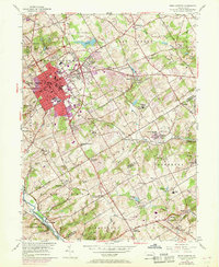
1954 Map of West Chester
USGS Topo · Published 1969About this map
The State Teachers College and the surrounding borough of West Chester serve as the hub for this portion of Chester County during the late 1960s. Purple revision tints illustrate the post-war expansion of the urban core into Chatwood and south toward Westtown, highlighting the transition from a traditional college town into a growing suburban center. The landscape is deeply tied to its watercourses, with the East Branch Chester Creek and Ridley Creek defining the eastern townships, while Brandywine Creek cuts through the southwestern corner near Brinton Bridge.
Find a feature on this map
100 named features on this map. Tap any name to fly to it.
Don’t see what you’re looking for? This feature index may not catch every label — zoom into the map to look around manually.
Map Details
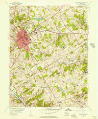
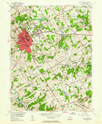
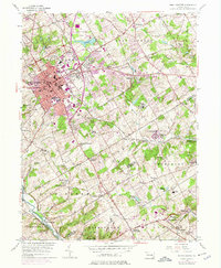
Editions of this 1954 West Chester Map
4 editions found
Other maps of this area

1894 · Chester
USGS Topo · 1:62,500

1894 · Norristown
USGS Topo · 1:62,500

1895 · Norristown
USGS Topo · 1:62,500

1896 · Norristown
USGS Topo · 1:62,500

1896 · Chester
USGS Topo · 1:62,500

1898 · Chester
USGS Topo · 1:62,500

1901 · Camden
USGS Topo · 1:125,000

1901 · West Chester
USGS Topo · 1:62,500

1904 · West Chester
USGS Topo · 1:62,500

1906 · Phoenixville
USGS Topo · 1:62,500
Featured Places
- West Goshen Township, PA
- West Chester, PA
- Willistown Township, PA
- Westtown, Thornbury Township
- Birmingham Township, PA