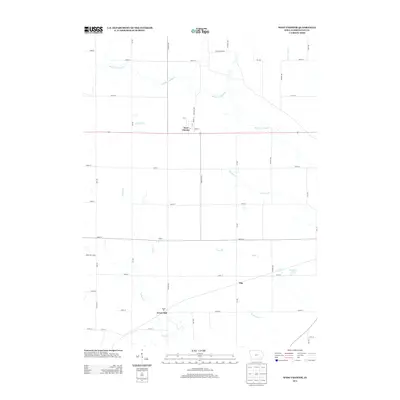
2013 Map of West Chester
USGS Topo · Published 2013About this map
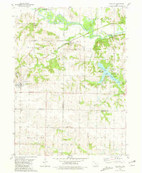
West Chester serves as the central hub of this Iowa-Washington County borderlands survey, where a strict rectilinear grid of section-line roads defines the agrarian landscape. These thoroughfares, named for trees and numbering systems like Ginkgo Ave and 250th St, bypass older, smaller points of interest including Dublin, Titu, and Grace Hill. The map reveals how local drainage patterns, such as the winding W Fork Crooked Cr and the southern Indian Cr, dictate the placement of farmsteads and small groves amidst the expansive fields. Unusual localized landmarks, such as Hoot Owl Holw and the recreational waters of Sunrise Lake, provide specific points of reference for local historians and land use researchers. The persistence of these named rural crossroads highlights the enduring community nodes that survived even as modern highways, such as Co Hwy W21, became the primary arteries of regional transit.
Find a feature on this map
38 named features on this map. Tap any name to fly to it.
Don’t see what you’re looking for? This feature index may not catch every label — zoom into the map to look around manually.
Map Details
Editions of this 2013 West Chester Map
This is the sole edition of this map. No revisions or reprints were ever made.
Other maps of this area

1958 · Davenport
USGS Topo · 1:250,000

1961 · Davenport
USGS Topo · 1:250,000

1962 · Davenport
USGS Topo · 1:250,000

1969 · Kalona
USGS Topo · 1:24,000

1969 · Washington
USGS Topo · 1:24,000
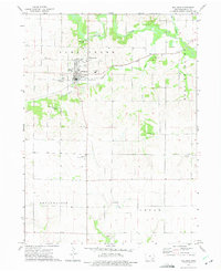
1973 · Wellman
USGS Topo · 1:24,000
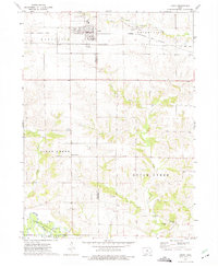
1973 · Keota
USGS Topo · 1:24,000

1973 · West Chester
USGS Topo · 1:24,000
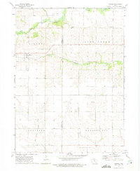
1973 · Kinross
USGS Topo · 1:24,000
1980 · Richland
USGS Topo · 1:24,000