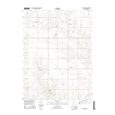
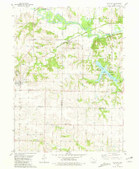
2015 Map of West Chester
USGS Topo · Published 2015About this map
West Chester and Grace Hill anchor this Washington County landscape, revealing the enduring layout of rural Iowa townships. The terrain is defined by a dense network of cemeteries, providing valuable locations for genealogical research, including Westminister Cem, Roberts Chapel Cem, and Grace Hill Cem. The hydrology is equally detailed, featuring the meandering paths of W Fork Crooked Cr and the larger Cedar Cr.
Find a feature on this map
35 named features on this map. Tap any name to fly to it.
Don’t see what you’re looking for? This feature index may not catch every label — zoom into the map to look around manually.
Map Details
Editions of this 2015 West Chester Map
This is the sole edition of this map. No revisions or reprints were ever made.
Other maps of this area

1958 · Davenport
USGS Topo · 1:250,000

1961 · Davenport
USGS Topo · 1:250,000

1962 · Davenport
USGS Topo · 1:250,000

1969 · Kalona
USGS Topo · 1:24,000

1969 · Washington
USGS Topo · 1:24,000
1973 · Wellman
USGS Topo · 1:24,000
1973 · Keota
USGS Topo · 1:24,000

1973 · West Chester
USGS Topo · 1:24,000
1973 · Kinross
USGS Topo · 1:24,000
1980 · Richland
USGS Topo · 1:24,000