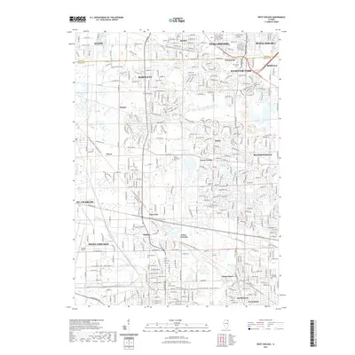
2021 Map of West Chicago
USGS Topo · Published 2021About this map
Bartlett and West Chicago dominate this landscape, showcasing the dense suburban network of the Chicago collar counties. The map highlights significant preservation and recreation corridors, notably the Illinois Prairie Path - Elgin Branch Trl and the Illinois Prairie Path - Geneva Spur Trl, which follow historic rail alignments across the terrain. These paths link established communities like Wayne and Winfield with smaller points of interest such as Prince Crossing and Munger. Along the W Br Du Page River, a series of small lakes and ponds including Muskrat Pond and Spring Lake dot the lowlands. Local history is anchored by numerous burial grounds like Glen Oak Cem and the Old Ontarioville Cem, while the Dupage Airport marks the southwestern quadrant, serving as a modern landmark in a region with deep agricultural and transit roots.
Find a feature on this map
40 named features on this map. Tap any name to fly to it.
Don’t see what you’re looking for? This feature index may not catch every label — zoom into the map to look around manually.
Map Details
Editions of this 2021 West Chicago Map
This is the sole edition of this map. No revisions or reprints were ever made.
Other maps of this area

1908 · Wheaton
USGS Topo · 1:62,500

1923 · Barrington
USGS Topo · 1:62,500

1925 · Elgin
USGS Topo · 1:62,500

1932 · Geneva
USGS Topo · 1:62,500

1935 · Barrington
USGS Topo · 1:62,500

1940 · Elgin
USGS Topo · 1:62,500

1948 · Wheaton
USGS Topo · 1:62,500

1948 · Geneva
USGS Topo · 1:62,500

1949 · Geneva
USGS Topo · 1:24,000

1950 · Aurora North
USGS Topo · 1:24,000