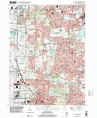
2024 Map of West Chicago
USGS Topo · Published 2024About this map
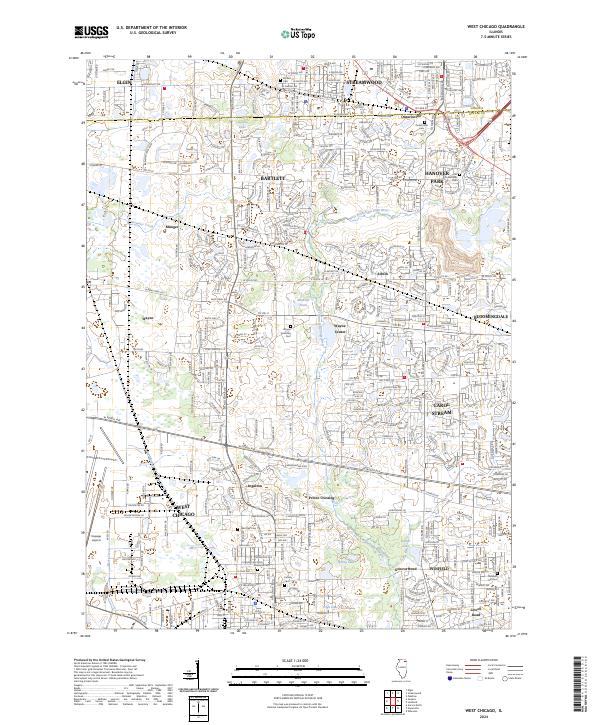
Bartlett and West Chicago anchor a landscape defined by the winding course of the West Branch Du Page River. This contemporary survey details the suburban evolution of former rail-adjacent settlements like Ontarioville and Munger, while tracing the persistent rural-to-urban edge through Wayne and Winfield. Historically significant burial grounds, including Ontarioville Cem and the Wayne Township Cem, are meticulously located alongside modern transportation hubs like the Dupage Airport. The map highlights a complex network of major thoroughfares such as W North Ave and W Roosevelt Rd, illustrating how these corridors have shaped the development of communities like Carol Stream and Hanover Park. Smaller landmarks like Muskrat Pond and Spring Lake remain as natural features within the expanding residential grid.
Find a feature on this map
52 named features on this map. Tap any name to fly to it.
Don’t see what you’re looking for? This feature index may not catch every label — zoom into the map to look around manually.
Map Details
Editions of this 2024 West Chicago Map
This is the sole edition of this map. No revisions or reprints were ever made.
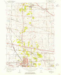
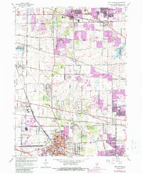
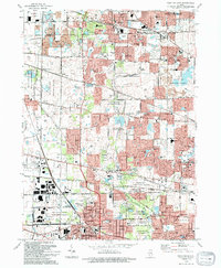
Historical Maps of Ingalton Through Time
5 maps found