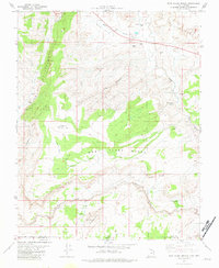
1981 Map of West Clark Bench
USGS Topo · Published 1982About this map
Adairville (Site) marks a point of historical interest along the Paria River on this borderland survey where Utah meets Arizona. The landscape is defined by dramatic geological features such as the Cockscomb and The Rimrocks, while the wide expanse of the West Clark Bench sits between deep canyons and rugged gulches. This 1981 mapping records a remote area utilized for grazing and exploration, evidenced by water infrastructure like Rubin Tank and several named springs including White House Spring and Cat Spring. The inclusion of Johnson Store Butte and Steamboat Rock provides specific landmarks for those navigating the arid terrain between the river and the The Dive. For hikers and local historians, the presence of the Cobra Arch and numerous unnamed jeep trails indicates a region valued for its natural formations and backcountry access.
Find a feature on this map
28 named features on this map. Tap any name to fly to it.
Don’t see what you’re looking for? This feature index may not catch every label — zoom into the map to look around manually.
Map Details
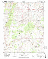
Editions of this 1981 West Clark Bench Map
2 editions found
Other maps of this area

1886 · Kanab
USGS Topo · 1:250,000

1886 · Escalante
USGS Topo · 1:250,000

1886 · Echo Cliffs
USGS Topo · 1:250,000

1886 · Kaibab
USGS Topo · 1:250,000

1891 · Echo Cliffs
USGS Topo · 1:250,000

1953 · Cedar City
USGS Topo · 1:250,000

1953 · Grand Canyon
USGS Topo · 1:250,000

1954 · Buckskin Gulch NE
USGS Topo · 1:24,000

1954 · Buckskin Gulch SE
USGS Topo · 1:24,000

1954 · Paria Plateau NW
USGS Topo · 1:24,000