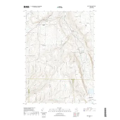
2019 Map of West Danby
USGS Topo · Published 2019About this map
Newfield and Newfield Hamlet sit at the northern edge of this high-relief landscape where the W Br Cayuga Inlet and Cayuga Inlet carve deep valleys through the hills of the Southern Tier. The terrain is defined by prominent rises like Protts Hill, Jersey Hill, and Bull Hill, which create a complex drainage network feeding into Fish Kill and Chaffee Cr. This 2019 survey shows a countryside dominated by family-named landmarks and rural infrastructure, including the historic Newfield Bridge and several secluded burying grounds such as the Hine Family Cem and Elston Hill Cem.
Find a feature on this map
132 named features on this map. Tap any name to fly to it.
Don’t see what you’re looking for? This feature index may not catch every label — zoom into the map to look around manually.
Map Details
Editions of this 2019 West Danby Map
This is the sole edition of this map. No revisions or reprints were ever made.
Other maps of this area

1893 · Ithaca
USGS Topo · 1:62,500

1895 · Ithaca
USGS Topo · 1:62,500

1900 · Dryden
USGS Topo · 1:62,500

1902 · Waverly
USGS Topo · 1:62,500

1903 · Owego
USGS Topo · 1:62,500

1905 · Watkins Glen
USGS Topo · 1:125,000

1906 · Catatonk
USGS Topo · 1:125,000

1949 · Ithaca West
USGS Topo · 1:24,000

1949 · Ithaca East
USGS Topo · 1:24,000

1949 · Willseyville
USGS Topo · 1:24,000