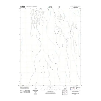
2011 Map of West Elk Peak SW
USGS Topo · Published 2011About this map
Lion Elk Park and Bull Park characterize this high-elevation landscape in Gunnison County, where a dense network of forest service roads and drainage gulches defines the territory. The 2011 survey shows a complex web of designated routes, including Co RD 723 and County RD 724, which provide access through the varying terrain of Dillon Mesa and the slopes of Tenderfoot Hill. The water system is particularly intricate, with named drainages such as Slab Mill Gulch, Frying Pan Creek, and Burnt Mill Creek feeding into larger systems like East Elk Creek and Willow Creek. This map identifies numerous small hollows and gulches, such as Poison Gulch and Deep Hollow, alongside family-named landmarks like Deadman Gulch, reflecting the historic land-use patterns of the Colorado back country during the early 21st century.
Find a feature on this map
59 named features on this map. Tap any name to fly to it.
Don’t see what you’re looking for? This feature index may not catch every label — zoom into the map to look around manually.
Map Details
Editions of this 2011 West Elk Peak SW Map
This is the sole edition of this map. No revisions or reprints were ever made.
Other maps of this area

1908 · Uncompahgre
USGS Topo · 1:125,000

1911 · Uncompahgre
USGS Topo · 1:125,000

1954 · Iola
USGS Topo · 1:24,000

1954 · Mc Intosh Mountain
USGS Topo · 1:24,000

1954 · West Elk Peak SW
USGS Topo · 1:24,000

1954 · Little Soap Park
USGS Topo · 1:24,000

1954 · Cebolla
USGS Topo · 1:24,000

1954 · Sapinero
USGS Topo · 1:24,000

1956 · Montrose
USGS Topo · 1:250,000

1959 · Montrose
USGS Topo · 1:250,000