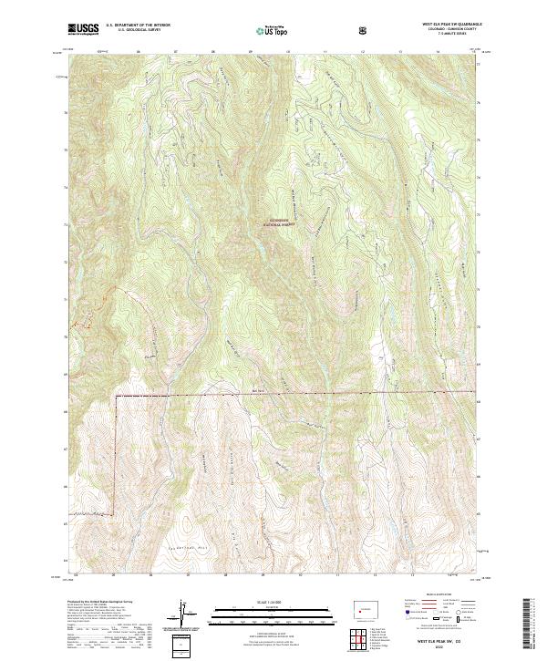
2022 Map of West Elk Peak SW
USGS Topo · Published 2022About this map
Gunnison National Forest land defines this landscape, where a dense network of gulches and creeks drains the high country. The map documents a topography shaped by water and early industry, indicated by names such as Slab Mill Gulch and Burnt Mill Gulch in the north. Central to the sheet are the high-altitude plateaus of Bull Park and Elk Park, while Tenderfoot Hill and Dillon Mesa anchor the southern reach. The drainage pattern is complex, with Frying Pan Cr, Stevens Cr, and multiple forks of Dry Gulch cutting through the terrain. Access to these remote reaches is maintained via routes like the Lion Gulch Trl and Dry Gulch Trl, providing a clear picture of the modern trail and forest road system used to navigate this part of the West Elk wilderness.
Find a feature on this map
46 named features on this map. Tap any name to fly to it.
Don’t see what you’re looking for? This feature index may not catch every label — zoom into the map to look around manually.
Map Details
Editions of this 2022 West Elk Peak SW Map
This is the sole edition of this map. No revisions or reprints were ever made.
Other maps of this area

1908 · Uncompahgre
USGS Topo · 1:125,000

1911 · Uncompahgre
USGS Topo · 1:125,000

1954 · Iola
USGS Topo · 1:24,000

1954 · Mc Intosh Mountain
USGS Topo · 1:24,000

1954 · West Elk Peak SW
USGS Topo · 1:24,000

1954 · Little Soap Park
USGS Topo · 1:24,000

1954 · Cebolla
USGS Topo · 1:24,000

1954 · Sapinero
USGS Topo · 1:24,000

1956 · Montrose
USGS Topo · 1:250,000

1959 · Montrose
USGS Topo · 1:250,000