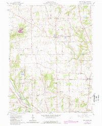
1961 Map of West Elkton
USGS Topo · Published 1988About this map
West Elkton sits at the heart of this agricultural landscape in the early 1960s, surrounded by a dense network of country roads like Quaker Trace Road and Mendenhall Road. The map reveals the deeply rooted community life of Gratis and Milford townships, evidenced by numerous local institutions such as The Little Family Church, Shawnee School, and Fairmound School. These small rural schools and churches, often paired with resting places like Friends Cem and Chapel Cem, reflect the decentralized settlement pattern characteristic of the Ohio countryside before significant consolidation.
Find a feature on this map
43 named features on this map. Tap any name to fly to it.
Don’t see what you’re looking for? This feature index may not catch every label — zoom into the map to look around manually.
Map Details
Editions of this 1961 West Elkton Map
2 editions found
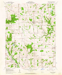
Other maps of this area

1904 · Mason
USGS Topo · 1:62,500

1906 · Mason
USGS Topo · 1:62,500

1908 · Miamisburg
USGS Topo · 1:62,500

1911 · Oxford
USGS Topo · 1:62,500

1915 · Hamilton
USGS Topo · 1:62,500

1917 · Hamilton
USGS Topo · 1:62,500

1953 · Cincinnati
USGS Topo · 1:250,000

1955 · Hamilton
USGS Topo · 1:24,000
1955 · Trenton
USGS Topo · 1:24,000
1955 · Millville
USGS Topo · 1:24,000