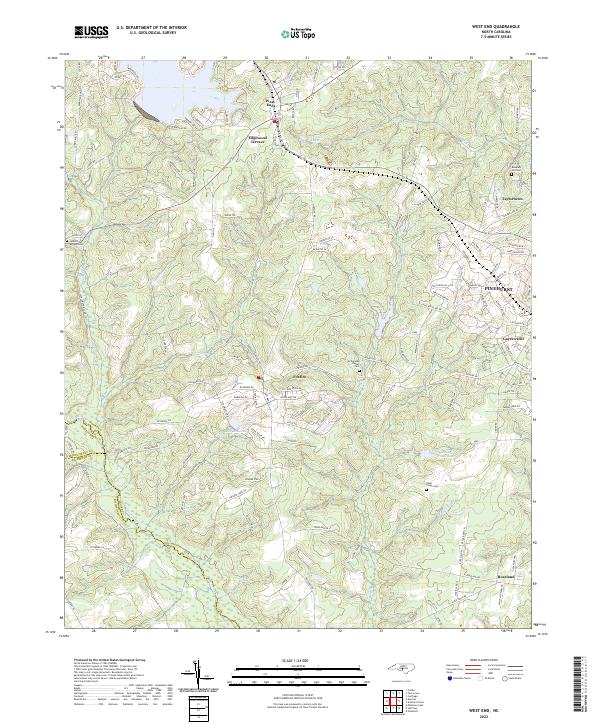
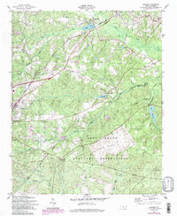
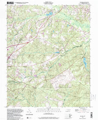
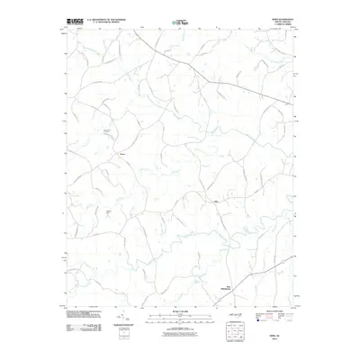
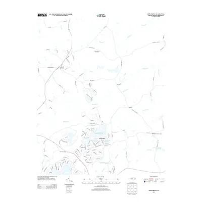
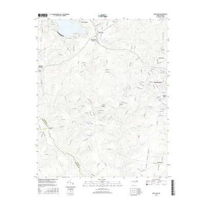
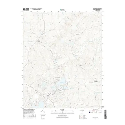
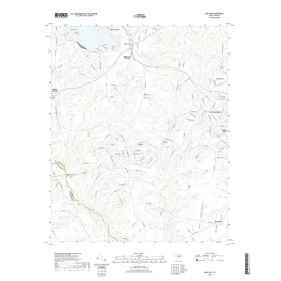
2022 Map of West End
USGS Topo · Published 2022About this map
The Moore Co landscape near the Montgomery Co and Richmond Co borders is defined by the headwaters of Drowning Creek and the meandering path of the Little River. The settlement of West End sits at a significant crossroads, flanked by residential developments like Edgewood Terrace and Taylortown. The geography here transitions from the rolling topography around Pinehurst to the more structured layouts of Foxfire and Roseland.
Find a feature on this map
129 named features on this map. Tap any name to fly to it.
Don’t see what you’re looking for? This feature index may not catch every label — zoom into the map to look around manually.
Map Details
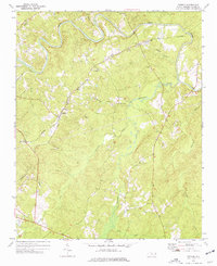
Editions of this 2022 West End Map
This is the sole edition of this map. No revisions or reprints were ever made.
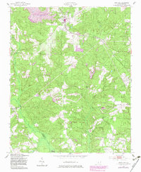
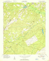
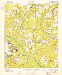
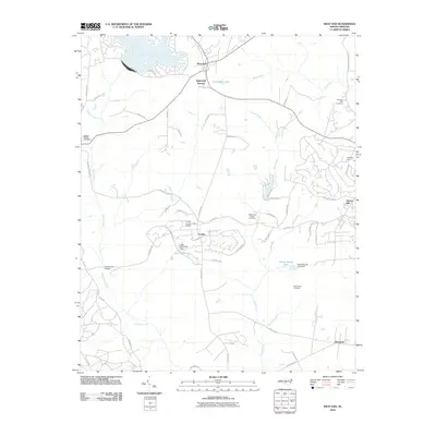
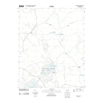
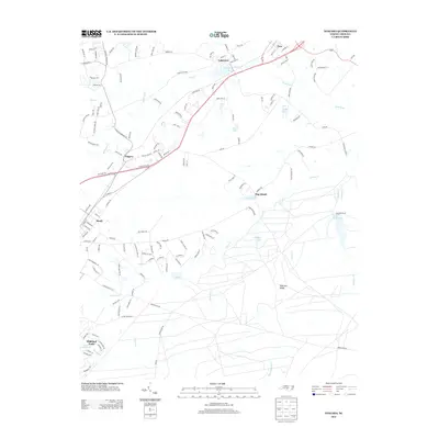
Historical Maps of Pinehurst Through Time
34 maps found
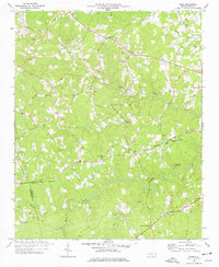
1949 West End
Moore County, NC
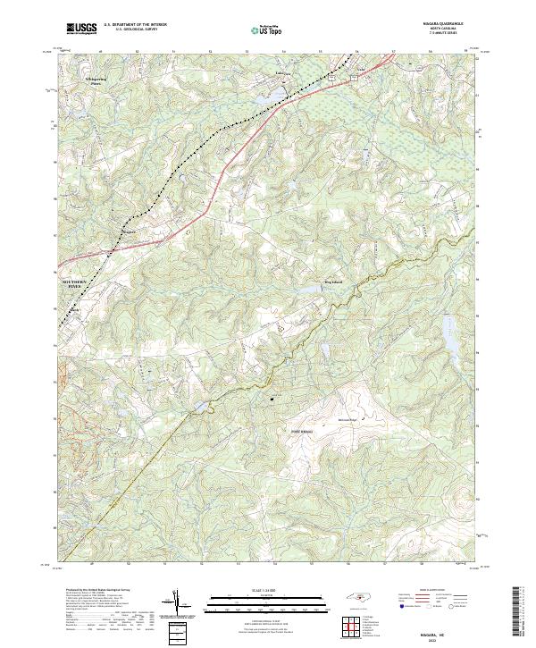
1950 Niagara
Moore County, NC
1950 Pine Bluff
Moore County, NC
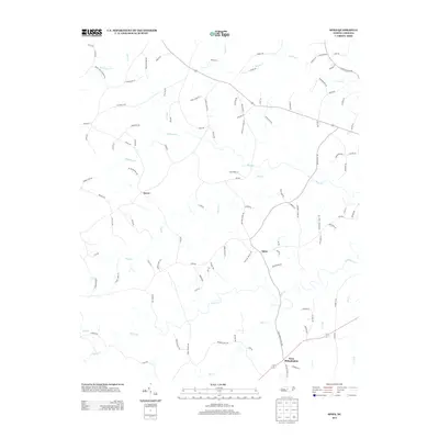
1957 Niagara
Moore County, NC
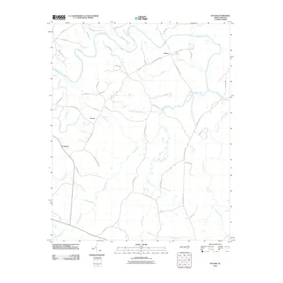
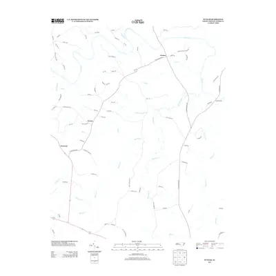
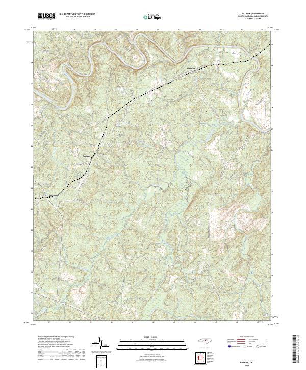
1974 Putnam
Moore County, NC
1976 Niagara
Moore County, NC
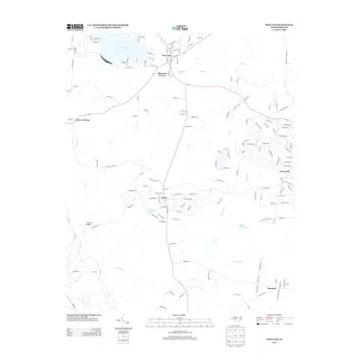
1976 West End
Moore County, NC
1977 Spies
Moore County, NC
1977 Zion Grove
Moore County, NC
1998 Niagara
Moore County, NC
2010 Putnam
Moore County, NC
2010 Spies
Moore County, NC
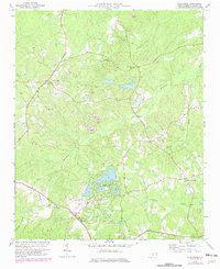
2010 West End
Moore County, NC
2010 Zion Grove
Moore County, NC
2013 Niagara
Moore County, NC
2013 Putnam
Moore County, NC
2013 Spies
Moore County, NC
2013 West End
Moore County, NC
2013 Zion Grove
Moore County, NC
2016 Niagara
Moore County, NC
2016 Putnam
Moore County, NC
2016 Spies
Moore County, NC
2016 West End
Moore County, NC
2016 Zion Grove
Moore County, NC
2019 Niagara
Moore County, NC
2019 Putnam
Moore County, NC
2019 Spies
Moore County, NC
2019 West End
Moore County, NC
2019 Zion Grove
Moore County, NC
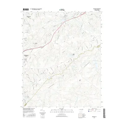
2022 Niagara
Moore County, NC
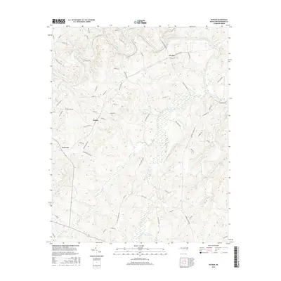
2022 Putnam
Moore County, NC
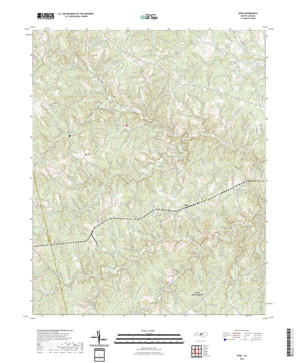
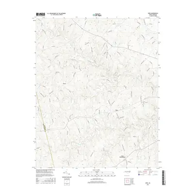
2022 Spies
Moore County, NC
2022 West End
Moore County, NC
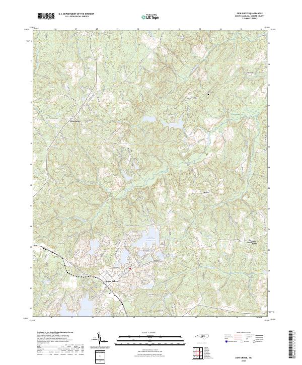
2022 Zion Grove
Moore County, NC