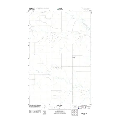
2011 Map of West Fork
USGS Topo · Published 2011About this map
West Fork sits at a junction of rural routes and waterways in Daniels County, Montana, representing the agricultural character of the northern Great Plains. The landscape is defined by the winding course of the West Fork Poplar River and the drainage of Hell Creek, which carve through the high prairie. The prominence of family-named roads such as Nieskens Rd and Oglesby Rd suggests the enduring legacy of homesteading and large-scale ranching operations in this part of the state.
Find a feature on this map
11 named features on this map. Tap any name to fly to it.
Don’t see what you’re looking for? This feature index may not catch every label — zoom into the map to look around manually.
Map Details
Editions of this 2011 West Fork Map
This is the sole edition of this map. No revisions or reprints were ever made.
Other maps of this area

1954 · Wolf Point
USGS Topo · 1:250,000

1954 · Glasgow
USGS Topo · 1:250,000

1957 · Glasgow
USGS Topo · 1:250,000

1958 · Wolf Point
USGS Topo · 1:250,000

1958 · Glasgow
USGS Topo · 1:250,000

1973 · Horseshoe Basin
USGS Topo · 1:24,000

1973 · West Fork NE
USGS Topo · 1:24,000

1973 · Peerless
USGS Topo · 1:24,000

1973 · Johnnys Hill
USGS Topo · 1:24,000

1973 · Richland
USGS Topo · 1:24,000