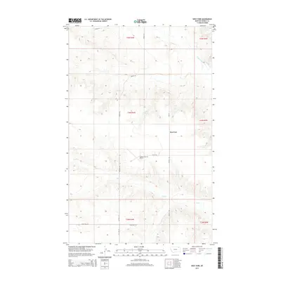
2014 Map of West Fork
USGS Topo · Published 2014About this map
West Fork sits at the center of this rural Daniels County landscape, where the agricultural and transport patterns of northeastern Montana are clearly defined. The terrain is marked by the winding course of the W Fork Poplar River in the northeast and the drainage of Hell Cr in the south. The placement of the Oglesby Farms Inc Airport near Oglesby Rd highlights the importance of aerial access for large-scale ranching and farming operations in this part of the state. A network of section-line roads, including Peerless Rd and Groseth Rd, provides the essential structure for movement between isolated homesteads and water sources like Walters Spring. This 2014 survey captures a moment when traditional land use and modern infrastructure, such as the Prairie Dell Rd, intersect in the Great Plains.
Find a feature on this map
19 named features on this map. Tap any name to fly to it.
Don’t see what you’re looking for? This feature index may not catch every label — zoom into the map to look around manually.
Map Details
Editions of this 2014 West Fork Map
This is the sole edition of this map. No revisions or reprints were ever made.
Other maps of this area

1954 · Wolf Point
USGS Topo · 1:250,000

1954 · Glasgow
USGS Topo · 1:250,000

1957 · Glasgow
USGS Topo · 1:250,000

1958 · Wolf Point
USGS Topo · 1:250,000

1958 · Glasgow
USGS Topo · 1:250,000

1973 · Horseshoe Basin
USGS Topo · 1:24,000

1973 · West Fork NE
USGS Topo · 1:24,000

1973 · Peerless
USGS Topo · 1:24,000

1973 · Johnnys Hill
USGS Topo · 1:24,000

1973 · Richland
USGS Topo · 1:24,000