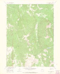
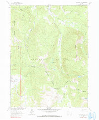
1962 Map of West Fork Lake
USGS Topo · Published 1970About this map
Routt National Forest dominates this high-altitude landscape along the border of Jackson and Routt counties during the early 1960s. The area is defined by the Continental Divide, which separates the headwaters of the West Fork Encampment River and the Middle Fork Little Snake River. This topographical study, prepared for the development of the Missouri River Basin, reveals a wilderness utilized for seasonal grazing and high-country transit. A network of Jeep Trails and a designated Stock Driveway indicate the movement of livestock and people through the Sierra Madre range. Notable water features include Manzanares Lake, West Fork Lake, and the Sanchez Lakes nestled in the southeastern reaches. The lack of permanent structures and the reliance on features like the Fire Line and West Fork Meadows underscore the remote, resource-managed character of this high Colorado terrain.
Find a feature on this map
19 named features on this map. Tap any name to fly to it.
Don’t see what you’re looking for? This feature index may not catch every label — zoom into the map to look around manually.
Map Details
Editions of this 1962 West Fork Lake Map
5 editions found
Other maps of this area

1911 · Hahns Peak
USGS Topo · 1:125,000

1913 · Hahns Peak
USGS Topo · 1:125,000

1939 · Saratoga
USGS Topo · 1:125,000

1954 · Rawlins
USGS Topo · 1:250,000

1954 · Craig
USGS Topo · 1:250,000

1955 · Davis Peak
USGS Topo · 1:24,000

1955 · Mount Zirkel
USGS Topo · 1:24,000

1956 · Pearl
USGS Topo · 1:62,500

1957 · Craig
USGS Topo · 1:250,000

1958 · Rawlins
USGS Topo · 1:250,000