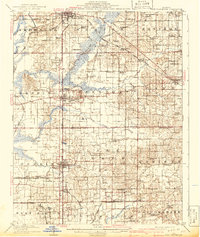
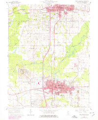
1909 Map of West Frankfort
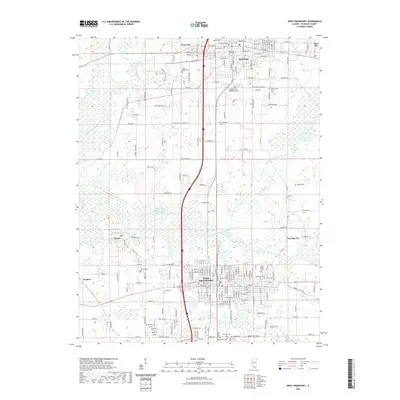
USGS Topo · Published 1941About this map
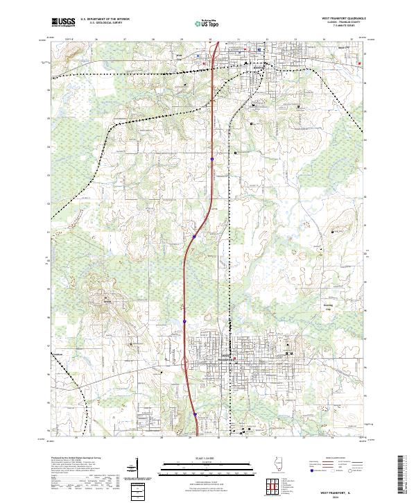
The coal-mining and agriculture regions of Southern Illinois are visible here during a period of industrial expansion, with Benton and West Frankfort serving as major population centers. The map documents a dense network of early 20th-century transportation including the Illinois Central, Southern, and Coal Belt railroads, which facilitated the movement of resources from local mines. The landscape is dotted with rural identifiers essential for genealogy, such as Jackson Church, Antioch Church, and several district schools including Moore School and Brush Prairie School. Smaller, distinct communities like Deering City, Bessie, and Parrish provide evidence of early settlement patterns before later consolidation. The topography is defined by the winding Middle Fork Big Muddy River and numerous tributaries like Pond Creek, illustrating how the drainage of the Mississippi Embayment influenced road placement and township boundaries.
Find a feature on this map
79 named features on this map. Tap any name to fly to it.
Don’t see what you’re looking for? This feature index may not catch every label — zoom into the map to look around manually.
Map Details
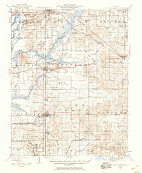
Editions of this 1909 West Frankfort Map
2 editions found
Historical Maps of Marion Through Time
11 maps found
1909 West Frankfort
Franklin County, IL
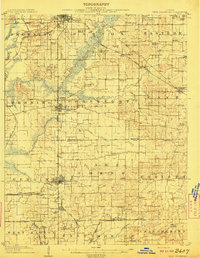
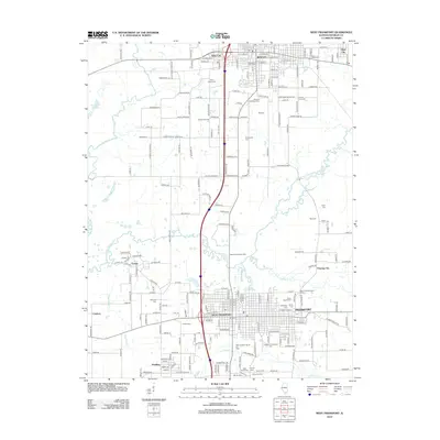
1941 West Frankfort
Franklin County, IL
1963 West Frankfort
Franklin County, IL
1963 West Frankfort
Franklin County, IL

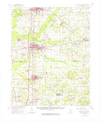
1984 West Frankfort
Franklin County, IL

1987 West Frankfort
Franklin County, IL
2012 West Frankfort
Franklin County, IL
2015 West Frankfort
Franklin County, IL
2018 West Frankfort
Franklin County, IL
2021 West Frankfort
Franklin County, IL
2024 West Frankfort
Franklin County, IL