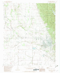
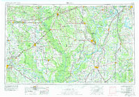
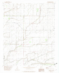
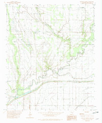
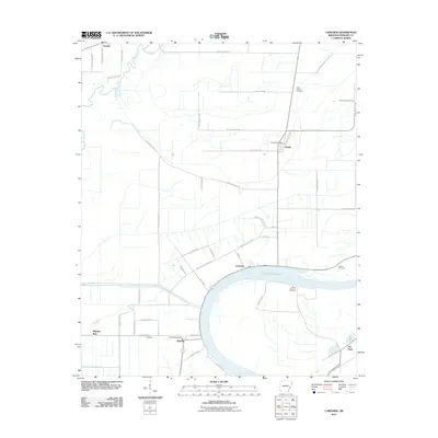
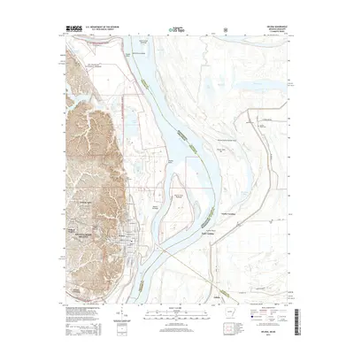
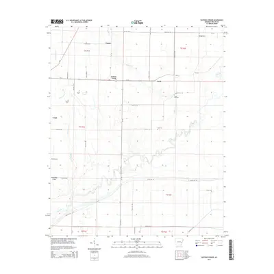
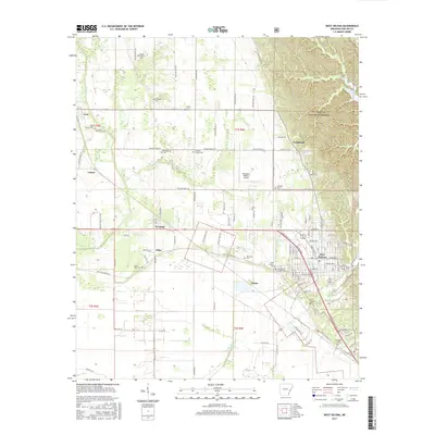
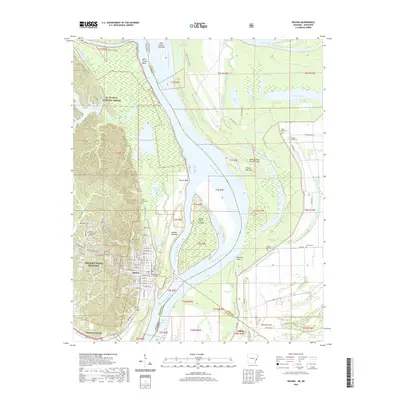
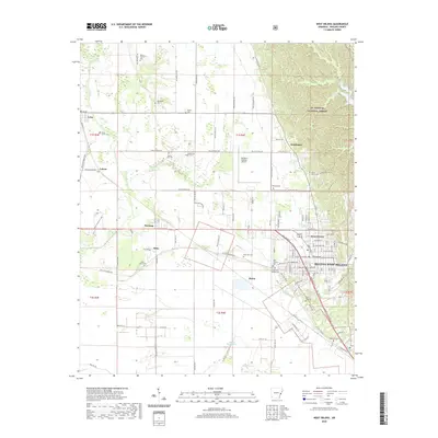
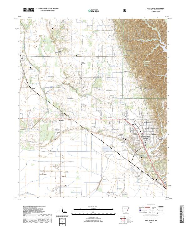
1982 Map of West Helena
USGS Topo · Published 1982About this map
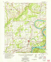
Crowley Ridge rises sharply above the surrounding Delta bottomlands, providing a dramatic geographical divide within the St Francis National Forest. This ridge-and-valley landscape contrasts with the flat, ditch-drained agricultural plains to the west, where smaller communities like Lexa, Southland, and Latour are situated along the Missouri Pacific railroad lines. The urban center of West Helena occupies the southeastern corner of the quadrangle, where the street grid abuts the rising slopes of the ridge.
Find a feature on this map
51 named features on this map. Tap any name to fly to it.
Don’t see what you’re looking for? This feature index may not catch every label — zoom into the map to look around manually.
Map Details
Editions of this 1982 West Helena Map
This is the sole edition of this map. No revisions or reprints were ever made.
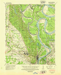
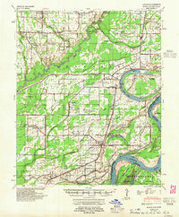
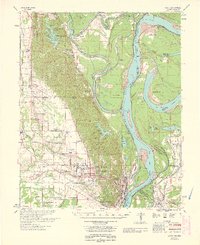
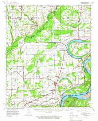
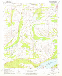
Historical Maps of Helena-West Helena Through Time
50 maps found
1939 Latour
Phillips County, AR

1939 Modoc
Phillips County, AR

1948 Helena
Phillips County, AR
1948 Modoc
Phillips County, AR
1950 Helena
Phillips County, AR
1955 Helena
Phillips County, AR

1955 Latour
Phillips County, AR

1959 Helena
Phillips County, AR

1960 Helena
Phillips County, AR

1961 Latour
Phillips County, AR
1963 Latour
Phillips County, AR
1963 Modoc
Phillips County, AR
1964 Friars Point NW
Phillips County, AR
1964 Modoc
Phillips County, AR
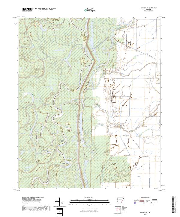
1967 Henrico NE
Phillips County, AR
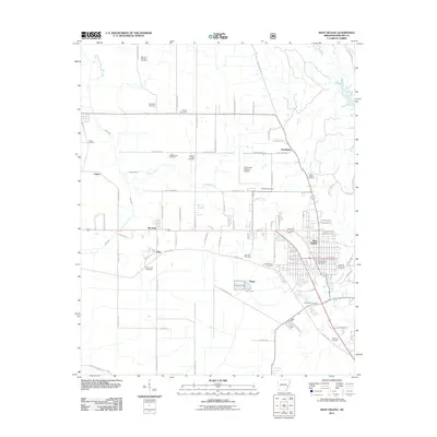
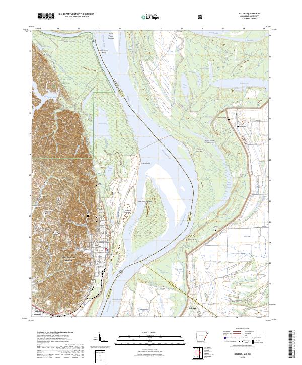
1982 Helena
Phillips County, AR
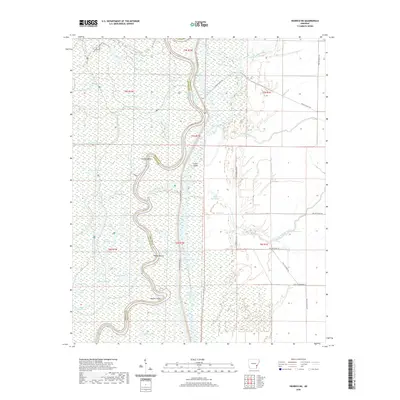
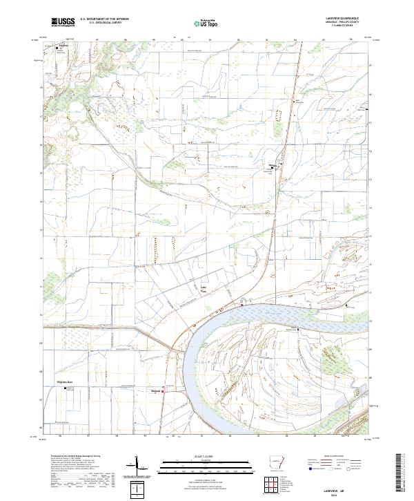
1982 Lakeview
Phillips County, AR
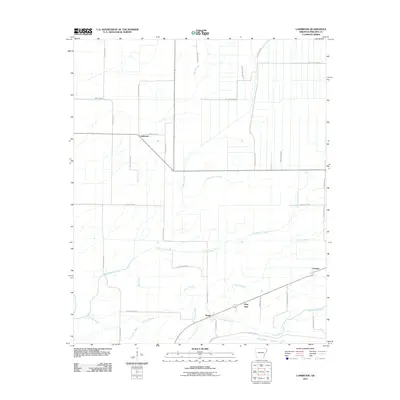
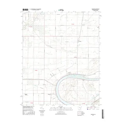
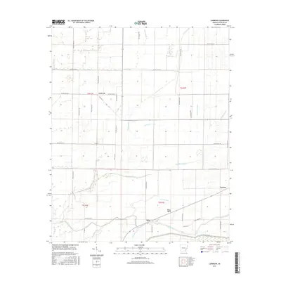
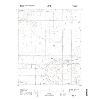
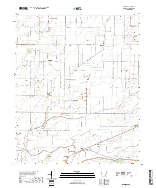
1982 Lambrook
Phillips County, AR
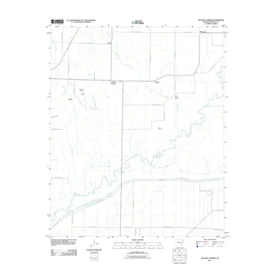
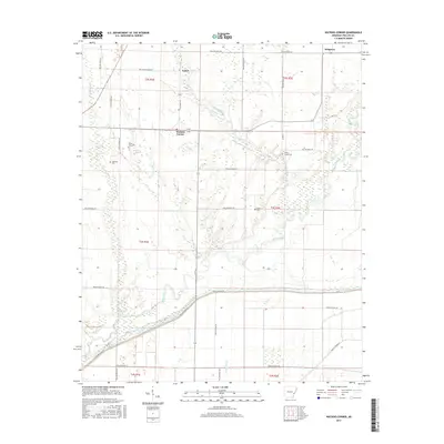
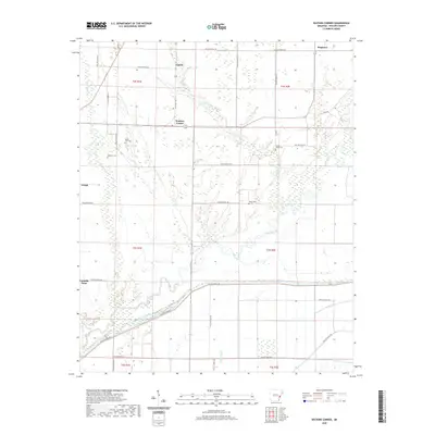
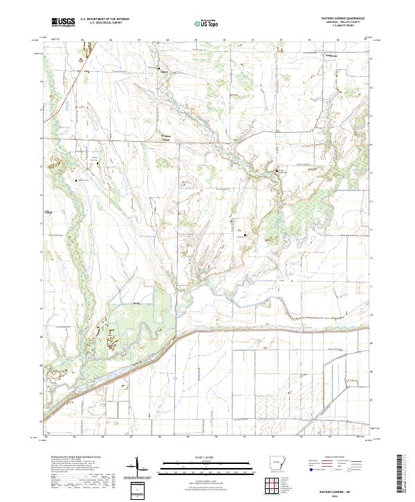
1982 Watkins Corner
Phillips County, AR
1982 West Helena
Phillips County, AR
2011 Helena
Phillips County, AR
2011 Henrico NE
Phillips County, AR
2011 Lakeview
Phillips County, AR
2011 Lambrook
Phillips County, AR
2011 Watkins Corner
Phillips County, AR
2011 West Helena
Phillips County, AR
2014 Helena
Phillips County, AR
2014 Henrico NE
Phillips County, AR
2014 Lakeview
Phillips County, AR
2014 Lambrook
Phillips County, AR
2014 Watkins Corner
Phillips County, AR
2014 West Helena
Phillips County, AR
2017 Helena
Phillips County, AR
2017 Henrico NE
Phillips County, AR
2017 Lakeview
Phillips County, AR
2017 Lambrook
Phillips County, AR
2017 Watkins Corner
Phillips County, AR
2017 West Helena
Phillips County, AR
2020 Helena
Phillips County, AR
2020 Henrico NE
Phillips County, AR
2020 Lakeview
Phillips County, AR
2020 Lambrook
Phillips County, AR
2020 Watkins Corner
Phillips County, AR
2020 West Helena
Phillips County, AR
2024 Helena
Phillips County, AR
2024 Henrico NE
Phillips County, AR
2024 Lakeview
Phillips County, AR
2024 Lambrook
Phillips County, AR
2024 Watkins Corner
Phillips County, AR
2024 West Helena
Phillips County, AR