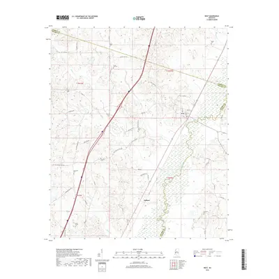
2018 Map of West
USGS Topo · Published 2018About this map
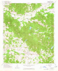
The Big Black River snakes along the southeastern portion of this landscape, marking the boundary between Holmes and Attala counties. This river valley is the defining geographic feature for the small settlements of West and Hoffman. The map is particularly rich in genealogical data, preserving the locations of numerous family and community burial grounds including Hudson Cem, Wilks Cem, and the Armstrong Cem.
Find a feature on this map
54 named features on this map. Tap any name to fly to it.
Don’t see what you’re looking for? This feature index may not catch every label — zoom into the map to look around manually.
Map Details
Editions of this 2018 West Map
This is the sole edition of this map. No revisions or reprints were ever made.
Other maps of this area

1953 · West Point
USGS Topo · 1:250,000

1958 · West Point
USGS Topo · 1:250,000

1963 · West Point
USGS Topo · 1:250,000

1964 · West
USGS Topo · 1:24,000
1964 · Bowling Green
USGS Topo · 1:24,000

1964 · Hesterville
USGS Topo · 1:24,000
1964 · Durant
USGS Topo · 1:24,000
1964 · Owens Wells
USGS Topo · 1:24,000
1964 · McAdams
USGS Topo · 1:24,000

1966 · Kosciusko
USGS Topo · 1:62,500