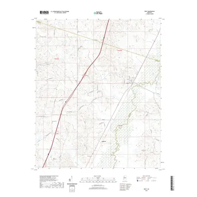
2020 Map of West
USGS Topo · Published 2020About this map
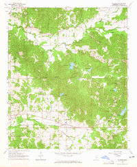
West stands as the primary settlement on this central Mississippi landscape, situated near the meandering course of the Big Black River. The terrain is marked by a complex network of small waterways, including Kyle Cr and Jordan Cr, which define the drainage patterns across the Holmes, Carroll, and Attala county lines. This 2020 representation reveals a rural geography heavily punctuated by family and community history, evidenced by the high density of small cemeteries such as Rocky Springs Cem and Brister Cem that dot the countryside.
Find a feature on this map
41 named features on this map. Tap any name to fly to it.
Don’t see what you’re looking for? This feature index may not catch every label — zoom into the map to look around manually.
Map Details
Editions of this 2020 West Map
This is the sole edition of this map. No revisions or reprints were ever made.
Other maps of this area

1953 · West Point
USGS Topo · 1:250,000

1958 · West Point
USGS Topo · 1:250,000

1963 · West Point
USGS Topo · 1:250,000

1964 · West
USGS Topo · 1:24,000
1964 · Bowling Green
USGS Topo · 1:24,000

1964 · Hesterville
USGS Topo · 1:24,000
1964 · Durant
USGS Topo · 1:24,000
1964 · Owens Wells
USGS Topo · 1:24,000
1964 · McAdams
USGS Topo · 1:24,000

1966 · Kosciusko
USGS Topo · 1:62,500