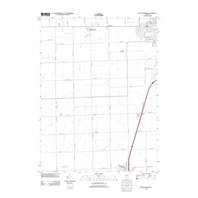
2012 Map of West Kankakee
USGS Topo · Published 2012About this map
West Kankakee and the residential streets of Hillside Manor define the northeastern portion of this landscape, where the Kankakee River briefly touches the corner of the map. This area serves as a transition from the urban edge of Kankakee into the vast agricultural grid of the Illinois prairie. Small rural clusters and historical focal points like Irwin and Otto are dispersed along the railroad corridor, while Chebanse anchors the southern boundary.
Find a feature on this map
66 named features on this map. Tap any name to fly to it.
Don’t see what you’re looking for? This feature index may not catch every label — zoom into the map to look around manually.
Map Details
Editions of this 2012 West Kankakee Map
This is the sole edition of this map. No revisions or reprints were ever made.
Other maps of this area

1922 · Kankakee
USGS Topo · 1:62,500

1923 · Herscher
USGS Topo · 1:62,500

1924 · Kankakee
USGS Topo · 1:62,500

1925 · Herscher
USGS Topo · 1:62,500

1944 · Piper City
USGS Topo · 1:48,000

1944 · Gilman
USGS Topo · 1:62,500

1946 · Gilman
USGS Topo · 1:62,500

1947 · Piper City
USGS Topo · 1:62,500

1953 · Chicago
USGS Topo · 1:250,000

1953 · Danville
USGS Topo · 1:250,000