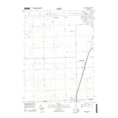
2015 Map of West Kankakee
USGS Topo · Published 2015About this map
The transition between the urban periphery and the agricultural landscape of northern Illinois is clearly visible in this 2015 study. West Kankakee sits at the northeastern edge of the sheet, where a grid of residential streets including W Calista St and W Budd Blvd gives way to the open country. To the south and west, the terrain is dominated by a systematic network of county roads and several smaller settlements such as Irwin and Limestone. The drainage patterns of Minnie Cr and Gar Cr wind through the township, defining the low-lying areas between the expansive agricultural plots.
Find a feature on this map
38 named features on this map. Tap any name to fly to it.
Don’t see what you’re looking for? This feature index may not catch every label — zoom into the map to look around manually.
Map Details
Editions of this 2015 West Kankakee Map
This is the sole edition of this map. No revisions or reprints were ever made.
Other maps of this area

1922 · Kankakee
USGS Topo · 1:62,500

1923 · Herscher
USGS Topo · 1:62,500

1924 · Kankakee
USGS Topo · 1:62,500

1925 · Herscher
USGS Topo · 1:62,500

1944 · Piper City
USGS Topo · 1:48,000

1944 · Gilman
USGS Topo · 1:62,500

1946 · Gilman
USGS Topo · 1:62,500

1947 · Piper City
USGS Topo · 1:62,500

1953 · Chicago
USGS Topo · 1:250,000

1953 · Danville
USGS Topo · 1:250,000