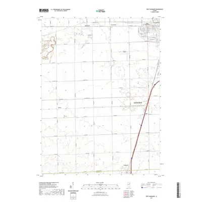
2021 Map of West Kankakee
USGS Topo · Published 2021About this map
The settlement of West Kankakee serves as the urban anchor for this Illinois landscape, where city grids meet the expansive agricultural fields of the Kankakee River valley. To the south, the village of Chebanse straddles the line between Kankakee Co and Iroquois Co, marking a significant transition point for regional travelers. This modern survey illustrates the organized rural infrastructure of the early 21st century, defined by a rigid section-line road network that connects smaller hamlets like Limestone, Greenwich, and Irwin. Local genealogy interests are centered at the Saint James Cem near the junction of W 5000S Rd and W 4000S Rd. The terrain is characterized by gentle drainage patterns including Minnie Cr, Gar Cr, and Wiley Cr, while the Kankakee Airport and the rail-aligned community of Otto highlight the area's continued role as a regional transportation corridor.
Find a feature on this map
41 named features on this map. Tap any name to fly to it.
Don’t see what you’re looking for? This feature index may not catch every label — zoom into the map to look around manually.
Map Details
Editions of this 2021 West Kankakee Map
This is the sole edition of this map. No revisions or reprints were ever made.
Other maps of this area

1922 · Kankakee
USGS Topo · 1:62,500

1923 · Herscher
USGS Topo · 1:62,500

1924 · Kankakee
USGS Topo · 1:62,500

1925 · Herscher
USGS Topo · 1:62,500

1944 · Piper City
USGS Topo · 1:48,000

1944 · Gilman
USGS Topo · 1:62,500

1946 · Gilman
USGS Topo · 1:62,500

1947 · Piper City
USGS Topo · 1:62,500

1953 · Chicago
USGS Topo · 1:250,000

1953 · Danville
USGS Topo · 1:250,000