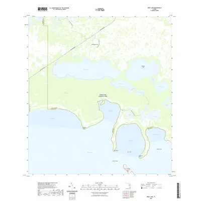
2021 Map of West Lake
USGS Topo · Published 2021About this map
Everglades National Park covers the vast majority of this landscape at the southern tip of the Florida peninsula, where the freshwater sawgrass marsh meets the saltwater mangrove fringe. The area is defined by a complex network of internal basins like West Lake and Cuthbert Lake, which are connected by specialized routes such as the West Lake Canoe Trl and the Noble Hammock Canoe Trl. These trails follow narrow passages through the mangroves, centered around landmarks like Noble Hammock.
Find a feature on this map
33 named features on this map. Tap any name to fly to it.
Don’t see what you’re looking for? This feature index may not catch every label — zoom into the map to look around manually.
Map Details
Editions of this 2021 West Lake Map
This is the sole edition of this map. No revisions or reprints were ever made.
Other maps of this area

1956 · Miami
USGS Topo · 1:250,000

1958 · Miami
USGS Topo · 1:250,000

1972 · Whitewater Bay East
USGS Topo · 1:24,000

1972 · Mahogany Hammock
USGS Topo · 1:24,000

1972 · Taylor Slough
USGS Topo · 1:24,000

1972 · Madeira Bay
USGS Topo · 1:24,000

1972 · Pelican Keys
USGS Topo · 1:24,000

1972 · West Lake
USGS Topo · 1:24,000

1972 · Calusa Keys
USGS Topo · 1:24,000

1972 · Clive Key
USGS Topo · 1:24,000