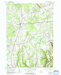
1955 Map of West Leyden
USGS Topo · Published 1992About this map
The headwaters of the Mohawk River define this rural landscape on the boundary of Lewis and Oneida counties. The settlement at West Leyden serves as a primary hub, situated near the confluence of the East Branch Mohawk River and West Branch Mohawk River. The map captures a mid-century period of land use characterized by extensive State Reforestation Areas, particularly in the southern reaches near Ava and Western.
Find a feature on this map
37 named features on this map. Tap any name to fly to it.
Don’t see what you’re looking for? This feature index may not catch every label — zoom into the map to look around manually.
Map Details
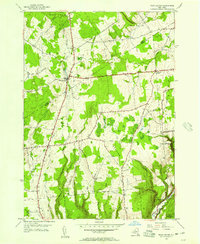
Editions of this 1955 West Leyden Map
2 editions found
Other maps of this area

1904 · Boonville
USGS Topo · 1:62,500

1905 · Port Leyden
USGS Topo · 1:62,500

1905 · Taberg
USGS Topo · 1:62,500

1906 · Highmarket
USGS Topo · 1:62,500

1907 · Port Leyden
USGS Topo · 1:62,500

1940 · Port Leyden
USGS Topo · 1:62,500

1943 · Lee Center
USGS Topo · 1:31,680

1943 · High Market
USGS Topo · 1:24,000

1944 · Point Rock
USGS Topo · 1:31,680
1944 · Highmarket
USGS Topo · 1:31,680