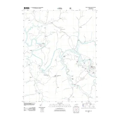
2011 Map of West Liberty
USGS Topo · Published 2011About this map
The Licking River winds through this portion of Morgan County, shaping the landscape near the county seat of West Liberty. The area is characterized by numerous family-named landmarks and cemeteries, such as Bishop Cemetery and Wheeler Cemetery, which offer valuable data points for genealogical research. Small named settlements like Zag, Fannin, and Twentysix are connected by a network of rural roads including Liberty Road and the Tabernacle Crossover Rd.
Find a feature on this map
102 named features on this map. Tap any name to fly to it.
Don’t see what you’re looking for? This feature index may not catch every label — zoom into the map to look around manually.
Map Details
Editions of this 2011 West Liberty Map
This is the sole edition of this map. No revisions or reprints were ever made.
Other maps of this area

1889 · Salyersville
USGS Topo · 1:125,000

1891 · Salyersville
USGS Topo · 1:125,000

1899 · Salyersville
USGS Topo · 1:125,000

1929 · Morehead
USGS Topo · 1:48,000

1935 · Morehead
USGS Topo · 1:62,500

1950 · Sandy Hook
USGS Topo · 1:24,000

1950 · Lenox
USGS Topo · 1:24,000

1951 · Cannel City
USGS Topo · 1:24,000

1951 · White Oak
USGS Topo · 1:24,000

1951 · Ezel
USGS Topo · 1:24,000