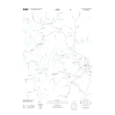
2013 Map of West Liberty
USGS Topo · Published 2013About this map
West Liberty and its surrounding Morgan County highlands are defined by the winding course of the Licking River, which snakes through the center of this 2013 survey. The landscape is dotted with small, family-named settlements like Zag, Yocum, and the uniquely named Twentysix. This area reflects a deeply rooted community structure, evidenced by the high density of small cemeteries such as Bishop Cem, Cottle Cem, and Perry Cem One tucked into the hollows and hillsides.
Find a feature on this map
168 named features on this map. Tap any name to fly to it.
Don’t see what you’re looking for? This feature index may not catch every label — zoom into the map to look around manually.
Map Details
Editions of this 2013 West Liberty Map
This is the sole edition of this map. No revisions or reprints were ever made.
Other maps of this area

1889 · Salyersville
USGS Topo · 1:125,000

1891 · Salyersville
USGS Topo · 1:125,000

1899 · Salyersville
USGS Topo · 1:125,000

1929 · Morehead
USGS Topo · 1:48,000

1935 · Morehead
USGS Topo · 1:62,500

1950 · Sandy Hook
USGS Topo · 1:24,000

1950 · Lenox
USGS Topo · 1:24,000

1951 · Cannel City
USGS Topo · 1:24,000

1951 · White Oak
USGS Topo · 1:24,000

1951 · Ezel
USGS Topo · 1:24,000