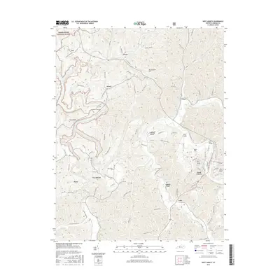
2016 Map of West Liberty
USGS Topo · Published 2016About this map
The Licking River winds through this 2016 survey of eastern Kentucky, carving a complex landscape of hollows and ridges south of the Daniel Boone National Forest. Centered on the seat of Morgan County, the map details the town of West Liberty and its surrounding rural hamlets. The geography is defined by a dense network of named branches and creeks, such as Lucky Branch Rd and Straight Creek Rd, which dictate the placement of roads and homesteads.
Find a feature on this map
97 named features on this map. Tap any name to fly to it.
Don’t see what you’re looking for? This feature index may not catch every label — zoom into the map to look around manually.
Map Details
Editions of this 2016 West Liberty Map
This is the sole edition of this map. No revisions or reprints were ever made.
Other maps of this area

1889 · Salyersville
USGS Topo · 1:125,000

1891 · Salyersville
USGS Topo · 1:125,000

1899 · Salyersville
USGS Topo · 1:125,000

1929 · Morehead
USGS Topo · 1:48,000

1935 · Morehead
USGS Topo · 1:62,500

1950 · Sandy Hook
USGS Topo · 1:24,000

1950 · Lenox
USGS Topo · 1:24,000

1951 · Cannel City
USGS Topo · 1:24,000

1951 · White Oak
USGS Topo · 1:24,000

1951 · Ezel
USGS Topo · 1:24,000