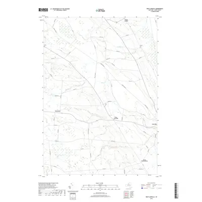
2019 Map of West Lowville
USGS Topo · Published 2019About this map
West Lowville and the surrounding Lewis County uplands are defined by a network of rural settlements and family-named roads in this 2019 survey. The landscape is structured by several waterways, including Mill Cr and Negro Cr, which descend toward the eastern valley. Small hamlets like Windecker and West Martinsburg serve as local hubs, connected by a dense grid of thoroughfares such as Number Three Rd and Eagle Factory Rd.
Find a feature on this map
52 named features on this map. Tap any name to fly to it.
Don’t see what you’re looking for? This feature index may not catch every label — zoom into the map to look around manually.
Map Details
Editions of this 2019 West Lowville Map
This is the sole edition of this map. No revisions or reprints were ever made.
Other maps of this area

1902 · Carthage
USGS Topo · 1:62,500

1904 · Carthage
USGS Topo · 1:62,500

1905 · Port Leyden
USGS Topo · 1:62,500

1906 · Highmarket
USGS Topo · 1:62,500

1907 · Port Leyden
USGS Topo · 1:62,500

1911 · Lowville
USGS Topo · 1:62,500

1913 · Lowville
USGS Topo · 1:62,500

1940 · Port Leyden
USGS Topo · 1:62,500

1942 · Copenhagen
USGS Topo · 1:24,000

1943 · Copenhagen
USGS Topo · 1:31,680