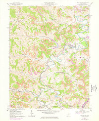
1961 Map of West Milford
USGS Topo · Published 1978About this map
The West Fork River carves a serpentine path through this 1961 survey of the Harrison and Lewis County border. Settlement patterns are concentrated along the winding water, with West Milford and Goodhope serving as local hubs. The landscape reveals an era of active resource extraction, evidenced by numerous Strip Mine operations scattered across the ridges of Tenmile and Union.
Find a feature on this map
46 named features on this map. Tap any name to fly to it.
Don’t see what you’re looking for? This feature index may not catch every label — zoom into the map to look around manually.
Map Details
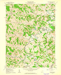
Editions of this 1961 West Milford Map
2 editions found
Other maps of this area

1902 · Clarksburg
USGS Topo · 1:62,500

1904 · Weston
USGS Topo · 1:62,500

1904 · Vadis
USGS Topo · 1:62,500

1905 · Centerpoint
USGS Topo · 1:62,500

1910 · Clarksburg
USGS Topo · 1:62,500

1923 · Clarksburg
USGS Topo · 1:62,500

1924 · Centerpoint
USGS Topo · 1:62,500

1925 · Clarksburg
USGS Topo · 1:62,500

1925 · Centerpoint
USGS Topo · 1:62,500

1925 · Vadis
USGS Topo · 1:62,500