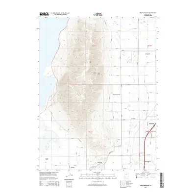
2014 Map of West Mountain
USGS Topo · Published 2014About this map
West Mountain dominates the central landscape of this Utah County survey, serving as a prominent topographic anchor between the expanding settlements of the southern Utah Valley. To the east, the urban fringes of Payson and Santaquin are visible, while the smaller community of Genola sits to the southwest near the Goshen Gap. The map captures the complex irrigation and drainage network essential to this region, including Benjamin Slough, Spring Cr, and Tanner Reservoir. Along the western edge, the shoreline of Utah Lake and the marshy expanse of White Lake transition into the Goshen Valley. This 2014 data reflects a modern era of land use where historic agricultural patterns meet contemporary suburban growth, all constrained by the steep rise of Long Ridge and West Mtn.
Find a feature on this map
78 named features on this map. Tap any name to fly to it.
Don’t see what you’re looking for? This feature index may not catch every label — zoom into the map to look around manually.
Map Details
Editions of this 2014 West Mountain Map
This is the sole edition of this map. No revisions or reprints were ever made.
Other maps of this area

1885 · Salt Lake
USGS Topo · 1:250,000

1885 · Manti
USGS Topo · 1:250,000

1895 · Manti
USGS Topo · 1:250,000

1948 · Spanish Fork
USGS Topo · 1:24,000

1948 · Provo
USGS Topo · 1:24,000

1949 · Provo
USGS Topo · 1:62,500

1950 · Provo
USGS Topo · 1:24,000

1950 · Spanish Fork
USGS Topo · 1:24,000

1950 · West Mountain
USGS Topo · 1:24,000
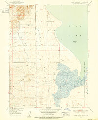
1950 · Goshen Valley North
USGS Topo · 1:24,000