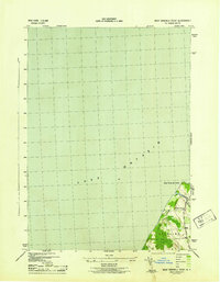
1943 Map of West Ninemile Point
USGS Topo · Published 1943About this map
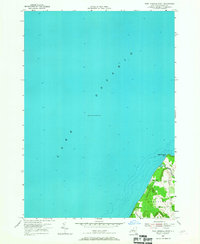
Lake Ontario dominates this 1943 survey, where the shoreline of the town of Sterling meets the water at West Ninemile Point. This World War II-era map was produced by the War Department and the Corps of Engineers using photography and methods from the Tennessee Valley Authority. It reveals a landscape defined by natural topography and local infrastructure, including the drainage of Ninemile Cr and the presence of School No 12 serving the rural community. The map provides a precise look at the orchards, vineyards, and dense woodlands that characterized this portion of Cayuga County during the early 1940s. Transportation through this lakefront region is anchored by the primary routes of the day, including the thoroughfares now known as U. S. Route 104 and State Route 48.
Find a feature on this map
7 named features on this map. Tap any name to fly to it.
Don’t see what you’re looking for? This feature index may not catch every label — zoom into the map to look around manually.
Map Details
Editions of this 1943 West Ninemile Point Map
This is the sole edition of this map. No revisions or reprints were ever made.
Other maps of this area

1900 · Oswego
USGS Topo · 1:62,500

1902 · Sodus Bay
USGS Topo · 1:62,500

1943 · Oswego West
USGS Topo · 1:31,680

1943 · Hannibal
USGS Topo · 1:31,680

1943 · Fair Haven
USGS Topo · 1:31,680
1943 · North Wolcott
USGS Topo · 1:31,680
1953 · North Wolcott
USGS Topo · 1:24,000
1954 · Hannibal
USGS Topo · 1:24,000
1954 · West Ninemile Point
USGS Topo · 1:24,000
1954 · Oswego West
USGS Topo · 1:24,000