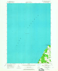
1954 Map of West Ninemile Point
USGS Topo · Published 1955About this map
Lake Ontario dominates this 1954 hydrographic and topographic survey, which captures a quiet stretch of the Cayuga County shoreline before modern lakeside development. The shoreline is defined by the prominent West Ninemile Point, where the land abruptly meets the depths of the lake. To the south, the settlement of Moon Beach sits nestled near the mouth of Ninemile Creek, which winds through a significant Marsh area before reaching the open water. This map illustrates the rural character of the Sterling boundary during the mid-1950s, highlighting a network of local thoroughfares such as Dogwood Road and Wheeler Road that connected the scattered coastal residences. The depth soundings throughout the lake provide a detailed look at the underwater topography as recorded by the U. S. Lake Survey during this era.
Find a feature on this map
11 named features on this map. Tap any name to fly to it.
Don’t see what you’re looking for? This feature index may not catch every label — zoom into the map to look around manually.
Map Details
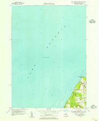
Editions of this 1954 West Ninemile Point Map
2 editions found
Other maps of this area

1900 · Oswego
USGS Topo · 1:62,500

1902 · Sodus Bay
USGS Topo · 1:62,500

1943 · Oswego West
USGS Topo · 1:31,680

1943 · Hannibal
USGS Topo · 1:31,680

1943 · Fair Haven
USGS Topo · 1:31,680
1943 · North Wolcott
USGS Topo · 1:31,680
1943 · West Ninemile Point
USGS Topo · 1:31,680
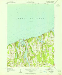
1953 · North Wolcott
USGS Topo · 1:24,000
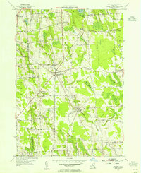
1954 · Hannibal
USGS Topo · 1:24,000
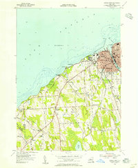
1954 · Oswego West
USGS Topo · 1:24,000