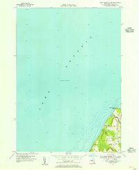
1954 Map of West Ninemile Point
USGS Topo · Published 1967About this map
Lake Ontario dominates the shoreline of the town of Sterling in this mid-century survey, which reveals a landscape defined by its interface with the water. The land is marked by small settlements and rural infrastructure, including the summer destination of Moon Beach and the prominent protrusion of West Ninemile Point. Bathymetric data and depth soundings reach far into the lake, illustrating the maritime importance of the region to the Department of Public Works and federal agencies. Inland, the map traces the winding course of Ninemile Creek and a network of local thoroughfares like Marsh Road and Wheeler Road. This survey reflects a time when coastal New York maintained a quiet, rural character focused on small creek drainage and lakeside living.
Find a feature on this map
9 named features on this map. Tap any name to fly to it.
Don’t see what you’re looking for? This feature index may not catch every label — zoom into the map to look around manually.
Map Details
Editions of this 1954 West Ninemile Point Map
2 editions found
Other maps of this area

1900 · Oswego
USGS Topo · 1:62,500

1902 · Sodus Bay
USGS Topo · 1:62,500

1943 · Oswego West
USGS Topo · 1:31,680

1943 · Hannibal
USGS Topo · 1:31,680

1943 · Fair Haven
USGS Topo · 1:31,680
1943 · North Wolcott
USGS Topo · 1:31,680
1943 · West Ninemile Point
USGS Topo · 1:31,680
1953 · North Wolcott
USGS Topo · 1:24,000
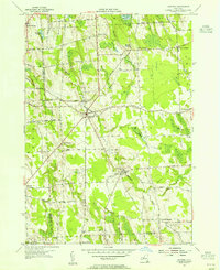
1954 · Hannibal
USGS Topo · 1:24,000
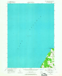
1954 · West Ninemile Point
USGS Topo · 1:24,000