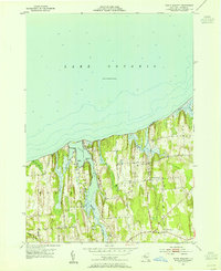
1953 Map of North Wolcott
USGS Topo · Published 1955About this map
Lake Ontario borders the northern reaches of Wayne County, where the dynamic shoreline is defined by dramatic elevations like Scotts Bluff and the protected waters of Port Bay. In the mid-1950s, this rural landscape between the towns of Huron and Wolcott remained largely agricultural, centered around the small settlement of North Wolcott. The interior is marked by a series of drumlins and north-flowing waterways, including Wolcott Creek and Beaver Creek, which drain into the Great Lake. Local infrastructure from this era is meticulously preserved, showing the locations of School No 2 and several cemeteries, alongside a network of country lanes like Dutch Street and West Port Bay Road. Landforms such as Loon Point and Tompkins Point illustrate the complex geography of the bay, while Desbrough Park highlights early recreational development along the waterfront.
Find a feature on this map
28 named features on this map. Tap any name to fly to it.
Don’t see what you’re looking for? This feature index may not catch every label — zoom into the map to look around manually.
Map Details
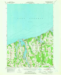
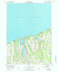
Editions of this 1953 North Wolcott Map
Other maps of this area

1900 · Oswego
USGS Topo · 1:62,500

1902 · Sodus Bay
USGS Topo · 1:62,500

1902 · Clyde
USGS Topo · 1:62,500

1902 · Weedsport
USGS Topo · 1:62,500

1943 · Sodus Point
USGS Topo · 1:31,680

1943 · Fair Haven
USGS Topo · 1:31,680

1943 · Wolcott
USGS Topo · 1:31,680
1943 · Rose
USGS Topo · 1:31,680
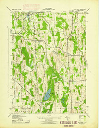
1943 · Red Creek
USGS Topo · 1:31,680
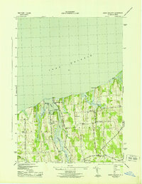
1943 · North Wolcott
USGS Topo · 1:31,680