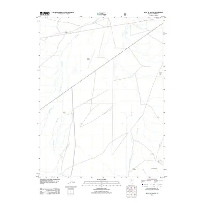
2012 Map of West of Austin
USGS Topo · Published 2012About this map
The Reese River and its meandering channel dominate this high-desert basin landscape, defining the character of the valley floor west of the Toiyabe Range. This 2012 survey captures a transition zone between the alluvial plains and the steep western canyons of the mountains, featuring the Birchum Slough and the primary drainage of Big Creek. Settlement patterns are sparse, represented by ranching outposts and infrastructure including Gondolfo Ranch, the White House landing, and the Austin Airport.
Find a feature on this map
16 named features on this map. Tap any name to fly to it.
Don’t see what you’re looking for? This feature index may not catch every label — zoom into the map to look around manually.
Map Details
Editions of this 2012 West of Austin Map
This is the sole edition of this map. No revisions or reprints were ever made.
Other maps of this area

1955 · Millett
USGS Topo · 1:250,000

1956 · Austin
USGS Topo · 1:62,500

1959 · Millett
USGS Topo · 1:250,000

1969 · Yankee Blade
USGS Topo · 1:24,000

1969 · Vigus Butte
USGS Topo · 1:24,000

1969 · Gandolfo Canyon
USGS Topo · 1:24,000

1969 · Mount Airy Mesa
USGS Topo · 1:24,000

1969 · Dutch Flat
USGS Topo · 1:24,000

1983 · Edwards Creek Valley
USGS Topo · 1:100,000

1985 · Smith Creek Valley
USGS Topo · 1:100,000