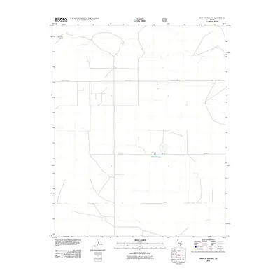
2010 Map of West of Brickel
USGS Topo · Published 2010About this map
Coldwater Creek winds through the high plains of Dallam County in this 2010 survey of the Texas Panhandle. The landscape is defined by the geometric precision of the Great Plains grid system, where long stretches of road like E High Lonesome Ln and Rock Hill Rd divide the territory into massive agricultural and grazing tracts. Water management is a central theme of the topography, evidenced by Reynolds Dam which contains the waters of Reynolds Lake against the flat horizon. To the northwest, the natural drainage of Red Cow Draw provides a rare deviation from the straight-line human architecture of Willard Ln and other local cattle-country arteries. This map reflects the modern state of one of the most sparsely populated corners of the state, focusing on the infrastructure that supports the region's large-scale ranching and farming operations.
Find a feature on this map
8 named features on this map. Tap any name to fly to it.
Don’t see what you’re looking for? This feature index may not catch every label — zoom into the map to look around manually.
Map Details
Editions of this 2010 West of Brickel Map
This is the sole edition of this map. No revisions or reprints were ever made.
Other maps of this area

1954 · Dalhart
USGS Topo · 1:250,000

1958 · Dalhart
USGS Topo · 1:250,000

1962 · Dalhart
USGS Topo · 1:250,000

1964 · Brickel
USGS Topo · 1:24,000

1964 · Kerrick
USGS Topo · 1:24,000

1964 · Stratford 2 SE
USGS Topo · 1:24,000

1964 · Stratford 2 NE
USGS Topo · 1:24,000

1965 · Conlen
USGS Topo · 1:24,000

1965 · Wilco NE
USGS Topo · 1:24,000

1973 · Stratford 2 NW
USGS Topo · 1:24,000