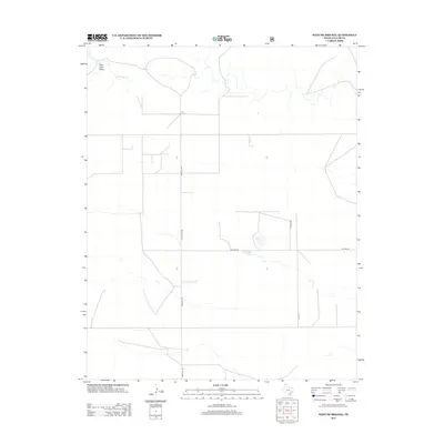
2012 Map of West of Brickel
USGS Topo · Published 2012About this map
Red Cow Draw cuts across the northwestern corner of this Dallam County landscape, a subtle but significant topographical feature in this corner of the Texas Panhandle. Modern rural infrastructure is defined by a grid of local corridors such as Rock Hill Rd and Willard Ln, which facilitate transit across the wide, open plains. The hydrology of the area is centered on Coldwater Cr and the distinct reservoir of Reynolds Lake, which serves as a vital water source for the surrounding ranching and agricultural operations. This survey documents the persistent rural character of the high plains just before the mid-2010s, showing the specific layout of named lanes like A T T Ln that provide access to this corner of Texas.
Find a feature on this map
6 named features on this map. Tap any name to fly to it.
Don’t see what you’re looking for? This feature index may not catch every label — zoom into the map to look around manually.
Map Details
Editions of this 2012 West of Brickel Map
This is the sole edition of this map. No revisions or reprints were ever made.
Other maps of this area

1954 · Dalhart
USGS Topo · 1:250,000

1958 · Dalhart
USGS Topo · 1:250,000

1962 · Dalhart
USGS Topo · 1:250,000

1964 · Brickel
USGS Topo · 1:24,000

1964 · Kerrick
USGS Topo · 1:24,000

1964 · Stratford 2 SE
USGS Topo · 1:24,000

1964 · Stratford 2 NE
USGS Topo · 1:24,000

1965 · Conlen
USGS Topo · 1:24,000

1965 · Wilco NE
USGS Topo · 1:24,000

1973 · Stratford 2 NW
USGS Topo · 1:24,000