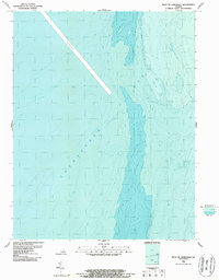
1986 Map of West of Jamesville
USGS Topo · Published 1987About this map
Chesapeake Bay waters dominate this bathymetric study, revealing the complex underwater topography off the coast of Accomack County in the mid-1980s. Unlike traditional topographic maps focusing on terrestrial landmarks, this hydrographic survey maps the submerged contours of the bay floor. A prominent Channel cuts through the western portion of the quadrangle, serving as a vital deep-water passage for maritime traffic. This specific chart is particularly valuable for understanding the underwater environment before modern shifts in sedimentation and coastal morphology, providing a clear record of depth gradients and nautical pathways as they existed in the late twentieth century.
Find a feature on this map
2 named features on this map. Tap any name to fly to it.
Don’t see what you’re looking for? This feature index may not catch every label — zoom into the map to look around manually.
Map Details
Editions of this 1986 West of Jamesville Map
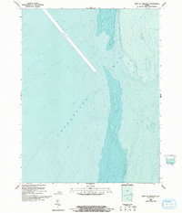
2 editions found
Other maps of this area

1942 · Nandua Creek
USGS Topo · 1:24,000

1943 · Jamesville
USGS Topo · 1:31,680

1943 · Franktown
USGS Topo · 1:31,680

1943 · Richmond
USGS Topo · 1:250,000

1946 · Eastville
USGS Topo · 1:250,000

1949 · Richmond
USGS Topo · 1:250,000

1959 · Richmond
USGS Topo · 1:250,000

1961 · Eastville
USGS Topo · 1:250,000

1964 · Richmond
USGS Topo · 1:250,000
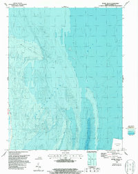
1965 · Bethel Beach
USGS Topo · 1:24,000