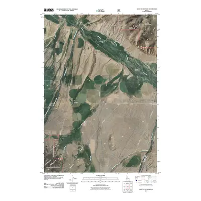
2011 Map of West of Leadore
USGS Topo · Published 2011About this map
The Lemhi River valley defines this high-desert corridor of eastern Idaho, where water management and ranching infrastructure shape the landscape. Detailed markings show the Lemhi River Weir and the Big Spring Creek Hatching Channel, highlighting the intersection of the natural river system and local wildlife and water management efforts. The terrain transitions from the alluvial fans of Big Eightmile Creek and Little Timber Creek toward the elevation of Mineral Hill. A network of backcountry routes, including Lee Creek Rd and Lemhi Back Rd, connects scattered gulches like Mollie Gulch and Stroud Gulch, providing a detailed look at the rural access points used by local landholders and resource managers in the early 21st century.
Find a feature on this map
24 named features on this map. Tap any name to fly to it.
Don’t see what you’re looking for? This feature index may not catch every label — zoom into the map to look around manually.
Map Details
Editions of this 2011 West of Leadore Map
This is the sole edition of this map. No revisions or reprints were ever made.
Other maps of this area

1955 · Dubois
USGS Topo · 1:250,000

1956 · Leadore
USGS Topo · 1:62,500

1956 · Patterson
USGS Topo · 1:62,500

1956 · Lemhi
USGS Topo · 1:62,500

1958 · Dubois
USGS Topo · 1:250,000

1965 · Bannock Pass
USGS Topo · 1:24,000
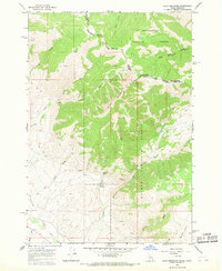
1965 · Goat Mountain
USGS Topo · 1:24,000

1980 · Leadore
USGS Topo · 1:100,000
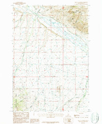
1987 · West of Leadore
USGS Topo · 1:24,000

1987 · Purcell Spring
USGS Topo · 1:24,000