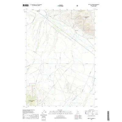
2020 Map of West of Leadore
USGS Topo · Published 2020About this map
The Lemhi River meanders through the northern portion of this Lemhi County landscape, where the valley floor meets the rising slopes of the Salmon National Forest. The map documents a sophisticated network of rural access routes and irrigation-related waterways that sustain the ranching and agricultural life of the Lemhi Valley. Numerous creeks, including Little Eightmile Cr, Milk Cr, and Little Timber Cr, drain from the higher elevations into the river basin, following natural corridors like Stroud Gulch. High-elevation landmarks such as Mineral Hill overlook a system of secondary roads including Lee Creek Rd and Coleman Rd, which provide access to remote forest sections and family-named parcels. Industrial history is etched into the terrain via the Mine Rd Nr Mineral Hill and routes like the Rd From Gravel Pit, reflecting the area's ongoing connection to resource extraction and land management.
Find a feature on this map
42 named features on this map. Tap any name to fly to it.
Don’t see what you’re looking for? This feature index may not catch every label — zoom into the map to look around manually.
Map Details
Editions of this 2020 West of Leadore Map
This is the sole edition of this map. No revisions or reprints were ever made.
Other maps of this area

1955 · Dubois
USGS Topo · 1:250,000

1956 · Leadore
USGS Topo · 1:62,500

1956 · Patterson
USGS Topo · 1:62,500

1956 · Lemhi
USGS Topo · 1:62,500

1958 · Dubois
USGS Topo · 1:250,000

1965 · Bannock Pass
USGS Topo · 1:24,000
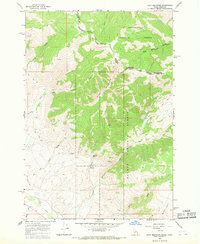
1965 · Goat Mountain
USGS Topo · 1:24,000

1980 · Leadore
USGS Topo · 1:100,000
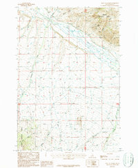
1987 · West of Leadore
USGS Topo · 1:24,000

1987 · Purcell Spring
USGS Topo · 1:24,000