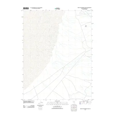
2011 Map of West of McKinney Pass
USGS Topo · Published 2011About this map
Root Spring Canyon marks the northeastern corner of this Pershing County landscape, defined by a network of drainage channels that traverse the arid basin floor. This 2011 survey by the U.S. Geological Survey illustrates a sparsely populated region of Nevada where a complex grid of unimproved roads and four-wheel-drive tracks provides the primary means of navigation through the open terrain. The mapping reveals the transition from the alluvial fans near the canyon out toward the flatter expanse of the basin, reflecting the characteristic geography of the Great Basin during the early 21st century.
Find a feature on this map
1 named feature on this map. Tap any name to fly to it.
Don’t see what you’re looking for? This feature index may not catch every label — zoom into the map to look around manually.
Map Details
Editions of this 2011 West of McKinney Pass Map
This is the sole edition of this map. No revisions or reprints were ever made.
Other maps of this area

1931 · Lovelock
USGS Topo · 1:250,000

1932 · Sonoma Range
USGS Topo · 1:250,000

1935 · Lovelock
USGS Topo · 1:250,000

1939 · Sonoma Range
USGS Topo · 1:250,000

1954 · Unionville
USGS Topo · 1:62,500

1954 · Buffalo Mtn
USGS Topo · 1:62,500

1955 · Lovelock
USGS Topo · 1:250,000

1955 · Winnemucca
USGS Topo · 1:250,000

1958 · Winnemucca
USGS Topo · 1:250,000

1959 · Lovelock
USGS Topo · 1:250,000