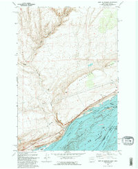
1993 Map of West of Paterson
USGS Topo · Published 1993About this map
Lake Umatilla dominates the southern landscape of this 1993 revision, where the Columbia River forms the border between Washington and Oregon. The map captures a critical ecological and industrial corridor, featuring the Umatilla National Wildlife Refuge and a complex of islands such as Big Blalock Island, Little Blalock Island, and Telegraph Island. To the north, the terrain rises sharply into the basalt formations of Paterson Ridge and Canoe Ridge, dissected by the drainage of Glade Creek and its tributary, East Glade Branch. Evidence of modern infrastructure is clear, with a prominent pipeline and a landing strip positioned above the river breaks. This survey provides a precise look at the mid-Columbia basin after the implementation of regional water management projects, showing the relationship between protected wildlife habitats and the utilitarian land use of the surrounding high desert.
Find a feature on this map
24 named features on this map. Tap any name to fly to it.
Don’t see what you’re looking for? This feature index may not catch every label — zoom into the map to look around manually.
Map Details
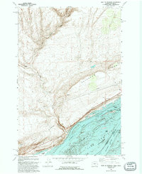
Editions of this 1993 West of Paterson Map
2 editions found
Other maps of this area

1906 · Blalock Island
USGS Topo · 1:125,000

1908 · Blalock Island
USGS Topo · 1:125,000

1915 · Prosser
USGS Topo · 1:125,000

1917 · Prosser
USGS Topo · 1:125,000

1953 · Pendleton
USGS Topo · 1:250,000

1953 · Walla Walla
USGS Topo · 1:250,000

1956 · Pendleton
USGS Topo · 1:250,000

1958 · Walla Walla
USGS Topo · 1:250,000

1962 · Canoe Ridge
USGS Topo · 1:24,000

1962 · Blalock Island
USGS Topo · 1:24,000