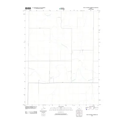
2009 Map of West of Russell Springs
USGS Topo · Published 2009About this map
The Smoky Hill River and its North Fork converge across this High Plains landscape, defining the hydrology of Logan County. This 2009 U.S. Geological Survey representation reveals a rural grid system anchored by named corridors like Topeka and Osage. The terrain is characterized by the broad, meandering paths of these primary watercourses as they cut through the western Kansas prairie.
Find a feature on this map
10 named features on this map. Tap any name to fly to it.
Don’t see what you’re looking for? This feature index may not catch every label — zoom into the map to look around manually.
Map Details
Editions of this 2009 West of Russell Springs Map
This is the sole edition of this map. No revisions or reprints were ever made.
Other maps of this area

1954 · Goodland
USGS Topo · 1:250,000

1955 · Scott City
USGS Topo · 1:250,000

1956 · Goodland
USGS Topo · 1:250,000

1957 · Goodland
USGS Topo · 1:250,000

1958 · Scott City
USGS Topo · 1:250,000

1969 · Russell Springs 2 NW
USGS Topo · 1:24,000

1969 · Mc Allaster SE
USGS Topo · 1:24,000

1969 · Russell Springs 2 SW
USGS Topo · 1:24,000

1969 · Russell Springs 2 NE
USGS Topo · 1:24,000

1969 · Russell Springs 2 SE
USGS Topo · 1:24,000