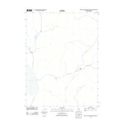
2012 Map of West of Snowstorm Mountain
USGS Topo · Published 2012About this map
Horse Lake and the surrounding high-desert terrain of eastern Lassen County define this 2012 survey. The landscape is marked by a sparse network of ranching outposts and seasonal water sources, including the expansive Snowstorm Wetland and White Horse Spring. Human presence is concentrated at small named locations such as Coon Camp in the north and Shumway to the west, linked by isolated thoroughfares like Hansen Rd and Horse Lake Rd. This era reflects a period of continued low-density land use, where the drainages of Snowstorm Cr and Petes Cr provide the primary geographical structure for the region. The map highlights the essential relationship between water and habitation in this part of California, centered around the Snowstorm Ranch and the large intermittent lake bed.
Find a feature on this map
11 named features on this map. Tap any name to fly to it.
Don’t see what you’re looking for? This feature index may not catch every label — zoom into the map to look around manually.
Map Details
Editions of this 2012 West of Snowstorm Mountain Map
This is the sole edition of this map. No revisions or reprints were ever made.
Other maps of this area

1886 · Honey Lake
USGS Topo · 1:250,000

1891 · Honey Lake
USGS Topo · 1:250,000

1893 · Honey Lake
USGS Topo · 1:250,000

1954 · Karlo
USGS Topo · 1:62,500

1954 · Grasshopper Valley
USGS Topo · 1:62,500

1954 · Ravendale
USGS Topo · 1:62,500

1954 · Fredonyer Peak
USGS Topo · 1:62,500

1955 · Westwood
USGS Topo · 1:250,000

1958 · Westwood
USGS Topo · 1:250,000

1959 · Westwood
USGS Topo · 1:250,000