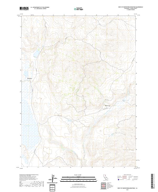
2021 Map of West of Snowstorm Mountain
USGS Topo · Published 2021About this map
Horse Lake and its surrounding high-desert basin dominate this portion of Lassen County, where seasonal waters collect in the Snowstorm Wetland. The settlement of Shumway sits along the western edge of the quadrangle, serving as a point of reference in an area defined by its drainage systems, including Petes Cr and the winding Snowstorm Creek. The high point of Snowstorm Mtn rises in the southeast, anchoring the landscape near White Horse Spring. This U.S. Geological Survey representation illustrates a land patterned by township and range lines, such as t33n r13e, where ranchers and land managers have long relied on routes like Hanson Rd and Horse Lake Rd to traverse the sagebrush and volcanic terrain of northeastern California.
Find a feature on this map
15 named features on this map. Tap any name to fly to it.
Don’t see what you’re looking for? This feature index may not catch every label — zoom into the map to look around manually.
Map Details
Editions of this 2021 West of Snowstorm Mountain Map
This is the sole edition of this map. No revisions or reprints were ever made.
Other maps of this area

1886 · Honey Lake
USGS Topo · 1:250,000

1891 · Honey Lake
USGS Topo · 1:250,000

1893 · Honey Lake
USGS Topo · 1:250,000

1954 · Karlo
USGS Topo · 1:62,500

1954 · Grasshopper Valley
USGS Topo · 1:62,500

1954 · Ravendale
USGS Topo · 1:62,500

1954 · Fredonyer Peak
USGS Topo · 1:62,500

1955 · Westwood
USGS Topo · 1:250,000

1958 · Westwood
USGS Topo · 1:250,000

1959 · Westwood
USGS Topo · 1:250,000