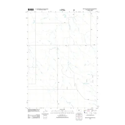
2012 Map of West of Stony Butte
USGS Topo · Published 2012About this map
E Br War Cr and W Br War Cr carve through the dry rangeland of Jones County, defining the drainage patterns of this sparsely settled prairie landscape. The area is characterized by isolated water management features essential for ranching, notably Sheriff Reservoir in the north and Kennedy Number One Reservoir further south. Local transport is dictated by a grid of section lines and the north-south corridor of Co Rd N 15. The 2012 topography shows a high-plains environment where water is the primary organizing principle, with small stock ponds and ephemeral stream branches marking the undulating terrain of the West of Stony Butte area.
Find a feature on this map
12 named features on this map. Tap any name to fly to it.
Don’t see what you’re looking for? This feature index may not catch every label — zoom into the map to look around manually.
Map Details
Editions of this 2012 West of Stony Butte Map
This is the sole edition of this map. No revisions or reprints were ever made.
Other maps of this area

1953 · Wendte NE
USGS Topo · 1:24,000

1953 · Pierre 3 NW
USGS Topo · 1:24,000

1954 · Pierre
USGS Topo · 1:250,000

1955 · Martin
USGS Topo · 1:250,000

1958 · Pierre
USGS Topo · 1:250,000

1958 · Martin
USGS Topo · 1:250,000

1972 · Pierre 3 SW
USGS Topo · 1:24,000

1972 · Draper
USGS Topo · 1:24,000

1972 · Pierre 3 SE
USGS Topo · 1:24,000

1972 · Vivian
USGS Topo · 1:24,000