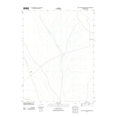
2012 Map of West of Whistler Mountain
USGS Topo · Published 2012About this map
U'ans-in-dame Creek serves as the primary hydrological feature of this Eureka County landscape, winding south through the arid terrain. The watercourse cuts through a broad basin positioned between the Whistler Range to the east and the expansive Kobeh Valley to the west. This 2012 survey by the U.S. Geological Survey illustrates a land primarily defined by natural drainage patterns and limited infrastructure. Transportation is restricted to a few key routes, including Roberts Creek Rd and the 3 Bar To Lone Mtn road, which facilitate movement through this cattle-grazing and mining region. The map provides a clear look at the alluvial fans and complex topography that characterize this part of the Great Basin during the early twenty-first century.
Find a feature on this map
5 named features on this map. Tap any name to fly to it.
Don’t see what you’re looking for? This feature index may not catch every label — zoom into the map to look around manually.
Map Details
Editions of this 2012 West of Whistler Mountain Map
This is the sole edition of this map. No revisions or reprints were ever made.
Other maps of this area

1926 · Roberts Mountains
USGS Topo · 1:250,000

1929 · Roberts Mountains
USGS Topo · 1:250,000

1949 · Garden Valley
USGS Topo · 1:62,500

1949 · Roberts Creek Mtn
USGS Topo · 1:62,500

1951 · Roberts Creek Mtn
USGS Topo · 1:62,500

1951 · Garden Valley
USGS Topo · 1:62,500

1955 · Millett
USGS Topo · 1:250,000

1956 · Bartine Ranch
USGS Topo · 1:62,500

1956 · Whistler Mtn
USGS Topo · 1:62,500

1959 · Millett
USGS Topo · 1:250,000